


Story and Photos by ITN European Reporter Herve’ Rebollo.
Salut à toi , American rider,
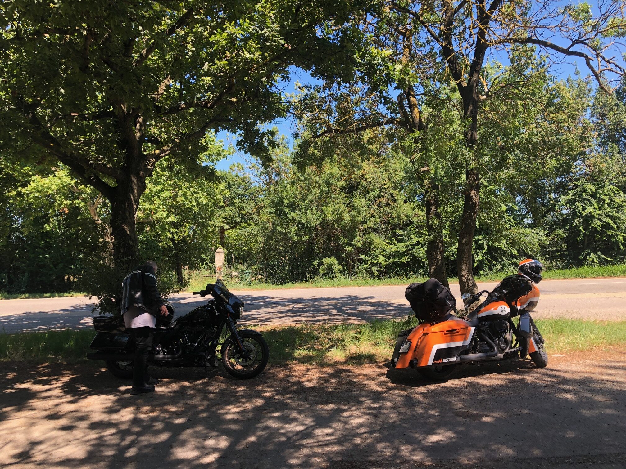
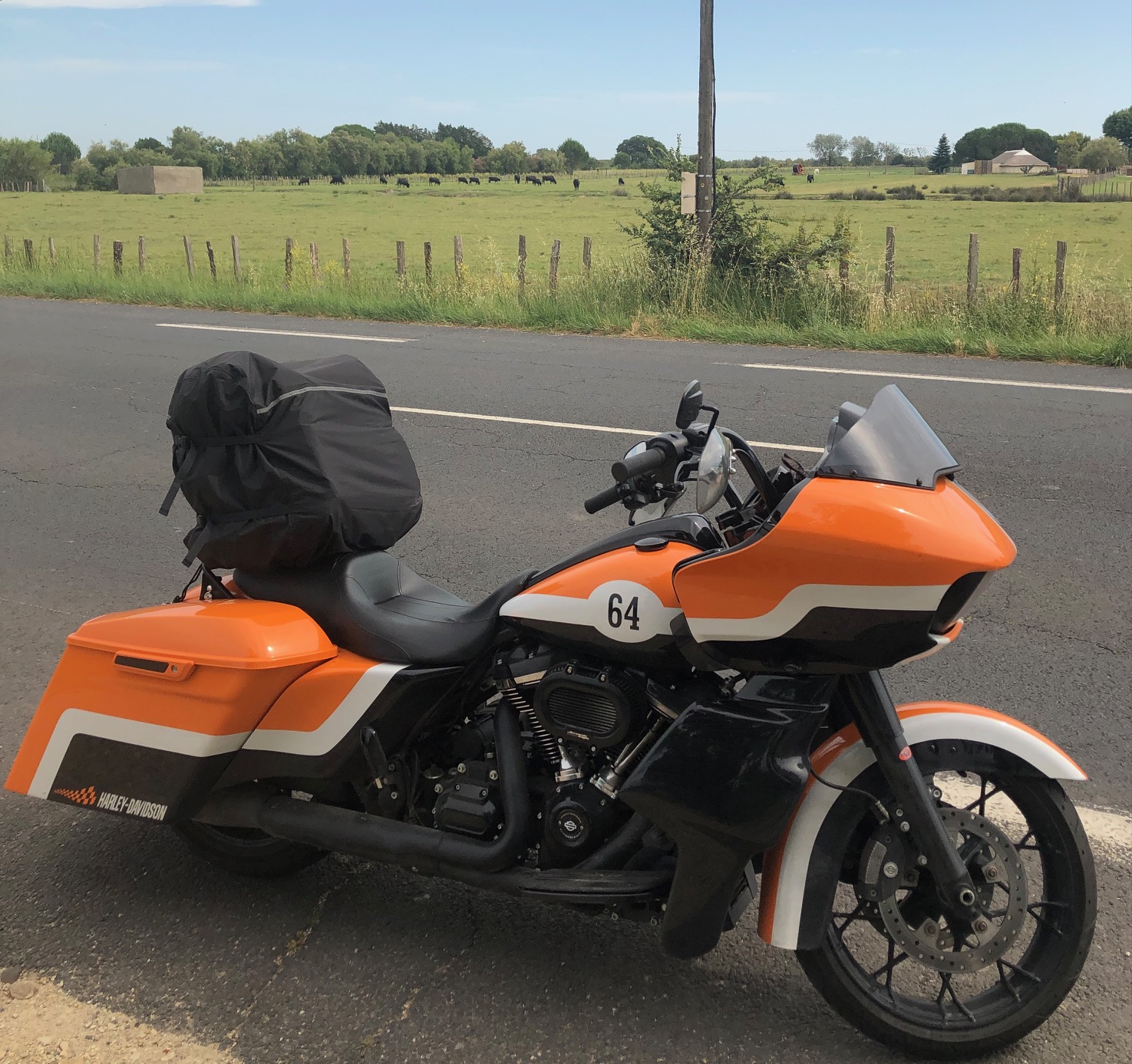
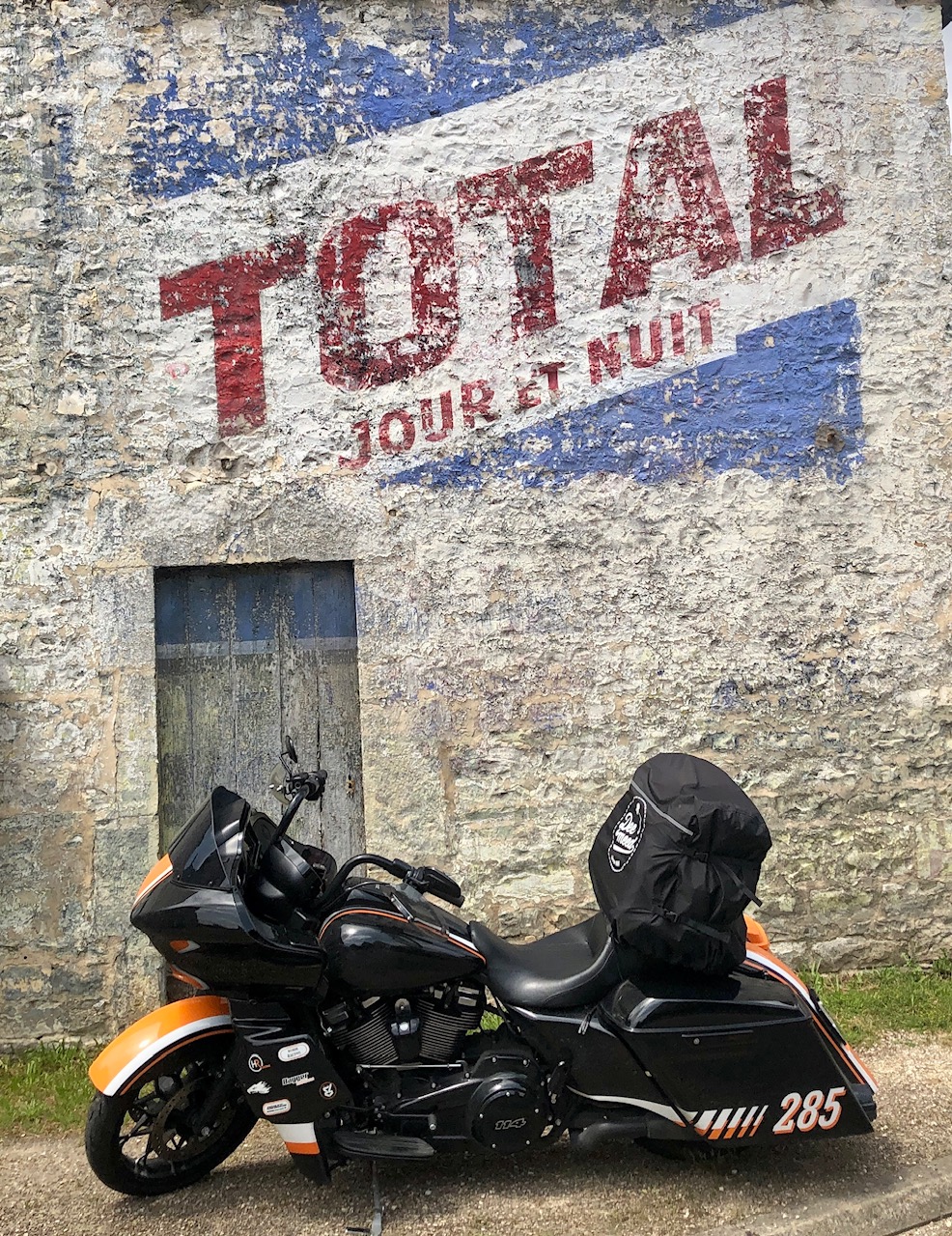
Time for my annual spring ride was upon us; it was time to hit the road for a (very) long 5-day trip.
The idea, as usual, was to cover a maximum distance discovering the countryside…
… and trying to meet people.
I was very excited about this trip, of course, but frankly speaking, I wondered if it would really be fun. You must know that, for three months now in France, it’s been raining every day: I’ve never seen such a rainy period in my whole life.
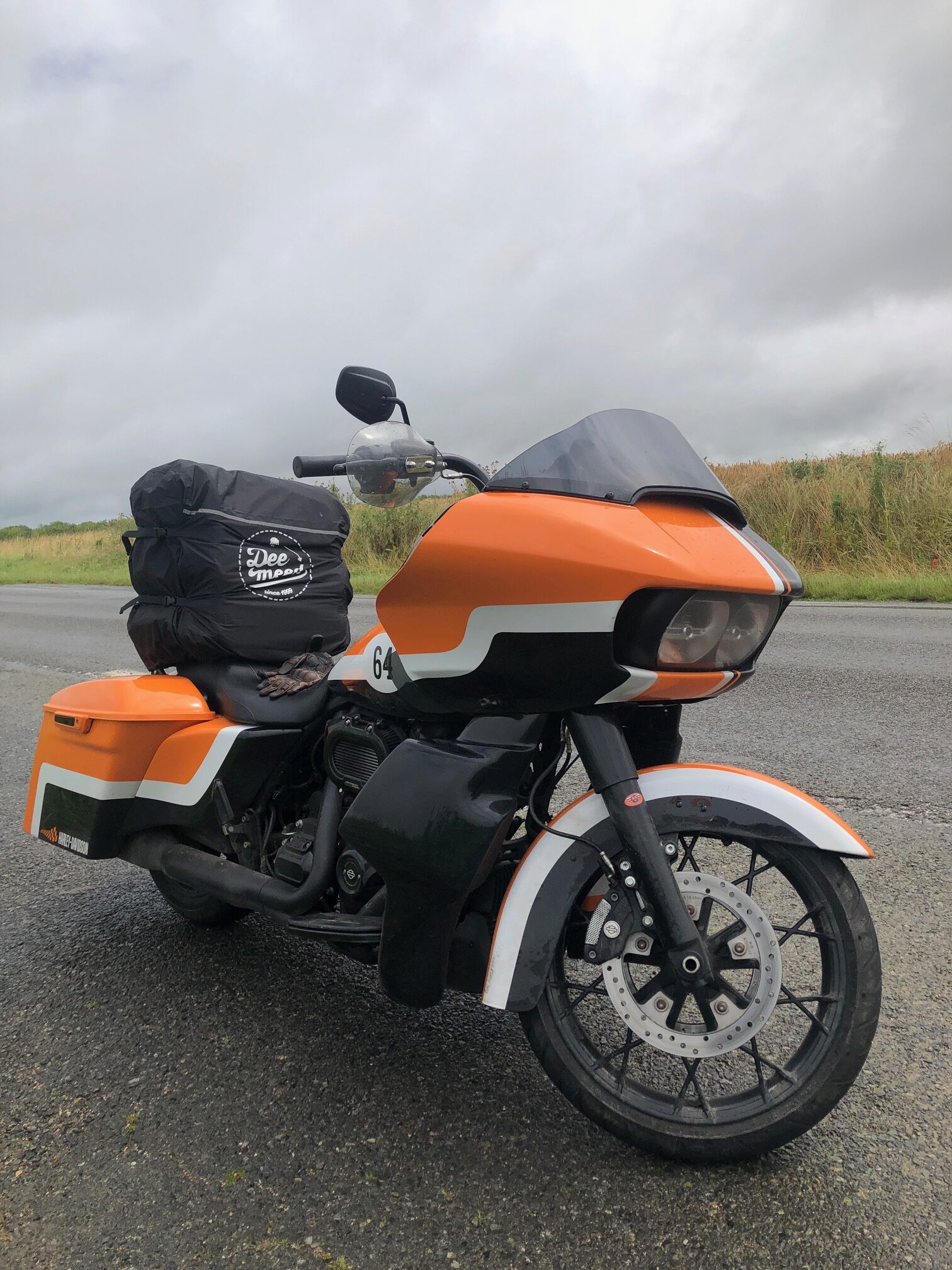
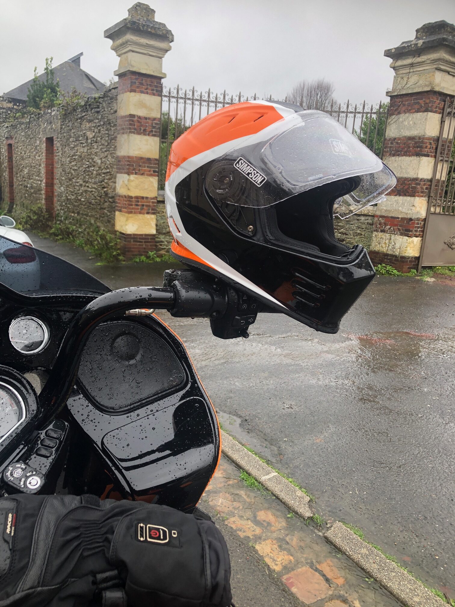
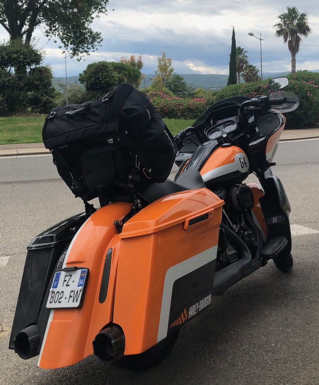
Winter gloves, rain suit, warm underwear—I left home on this Saturday, June 22nd, under walls of water with temperatures oscillating between 11 and 13 Celsius degrees (34 to 55 Fahrenheit degrees). Unbelievably, I felt like I was entering November, and the first 5 hours heading south toward central France were quite hard.
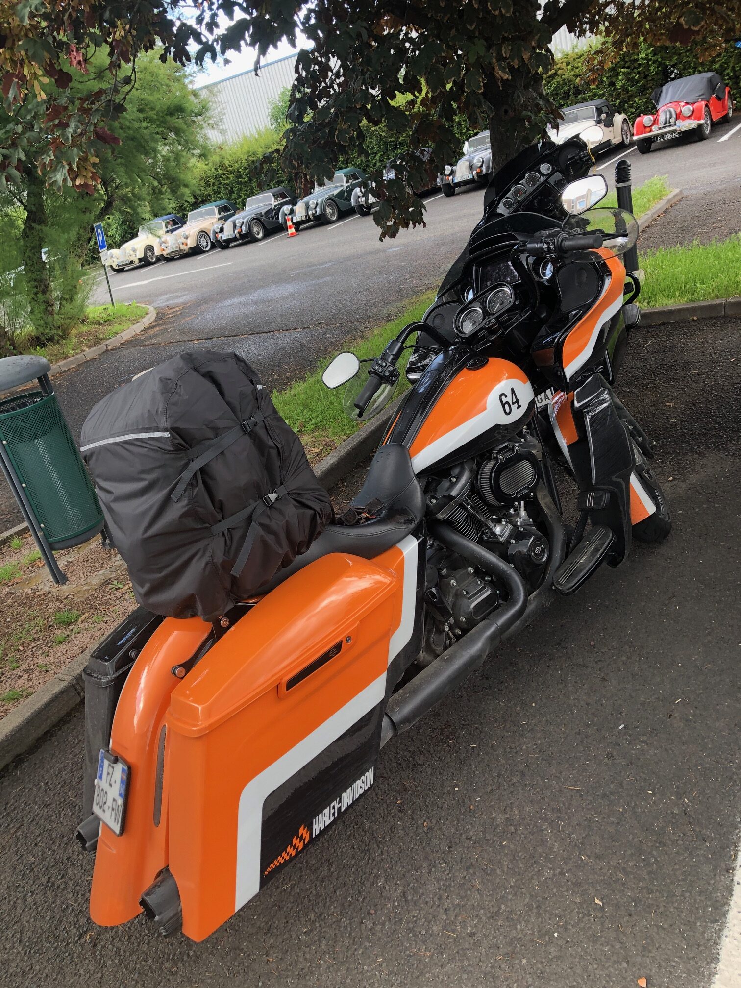
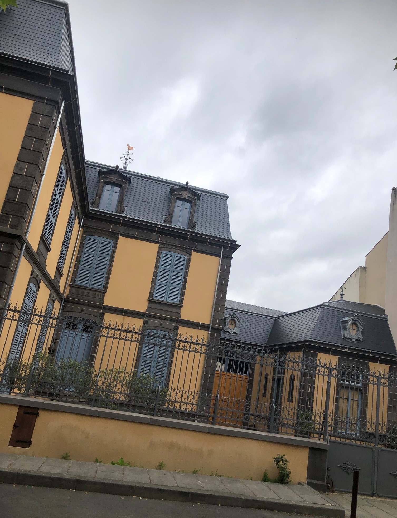
My only target on this first day was to reach the old city of Clermont-Ferrand (remember, I introduced this place in a previous post: GO SOUTH!! – Iron Trader News) where I had an appointment with my old road mate Patrick; the Dixxon shirts guy (remember him, we did the Tenerife ride two months ago: RIDIN’ EL TEIDE! – Iron Trader News ).

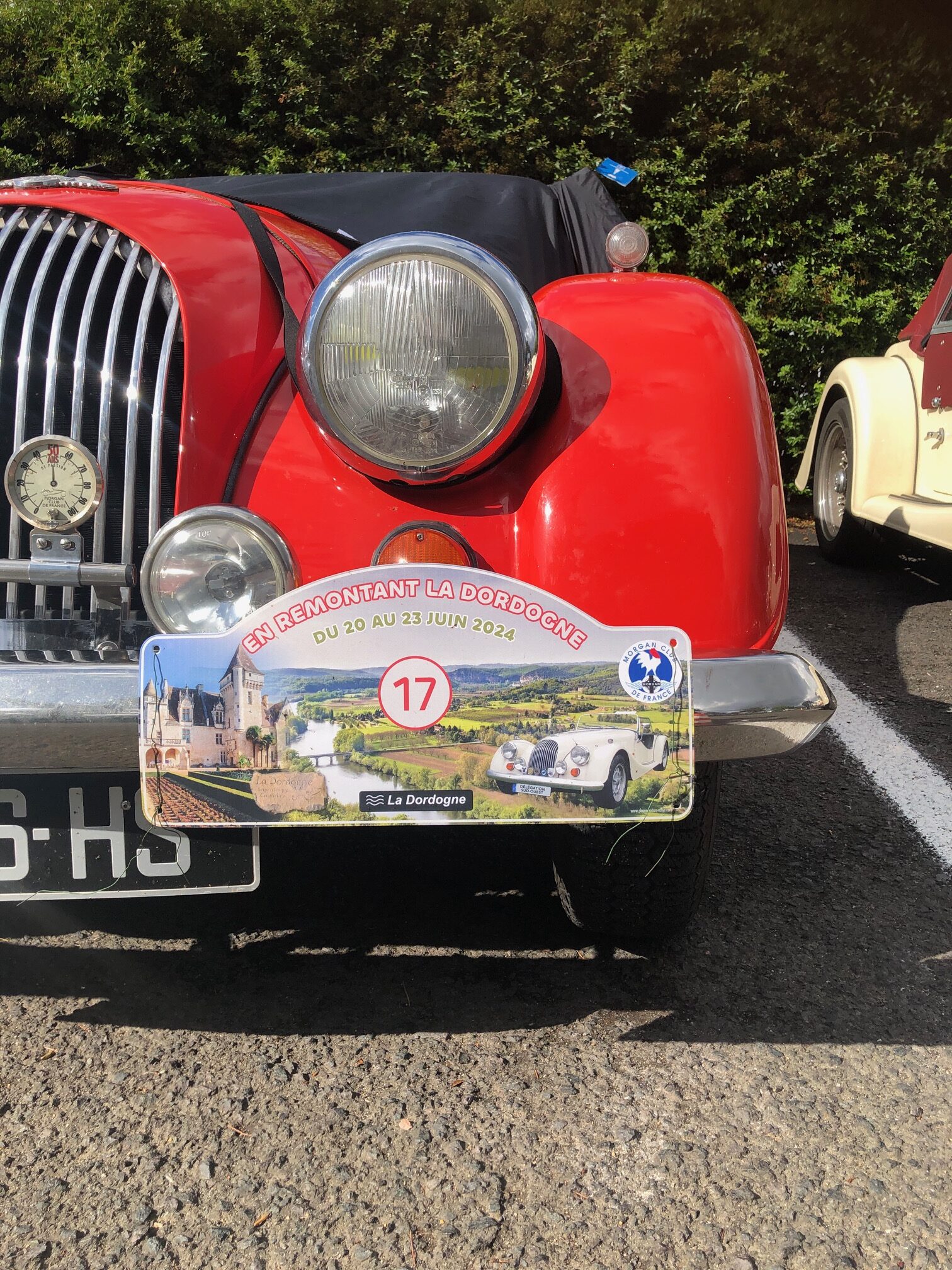
Luckily for us, when we met in the hotel’s parking lot, the “MORGAN CLUB de FRANCE” was arriving at the same time (Morgan Club de France). Founded in 1973, this club gathers more than 600 Morgan owners.
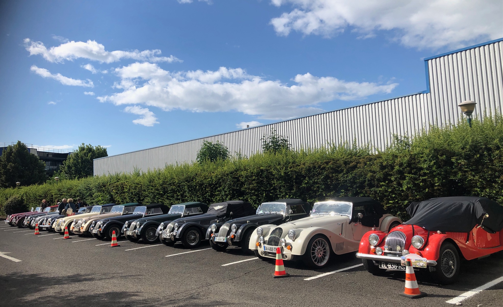
Members were having a three-day rally along the beautiful Dordogne river. It was a great pleasure to meet these guys (the Morgan Motor Company has been manufacturing quintessentially British vehicles in Malvern, UK, for more than 110 years: Morgan Motor Company – Morgan Motor Company (morgan-motor.com)).
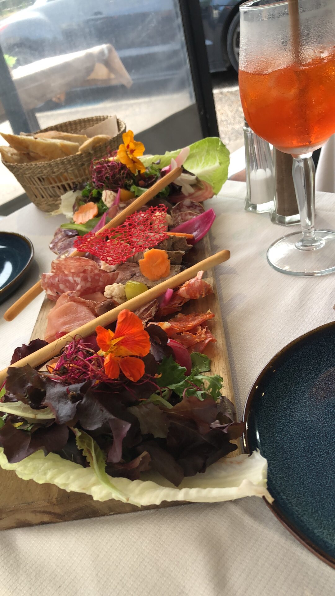
So, after a good dinner (and some drinks) and a good night’s sleep…
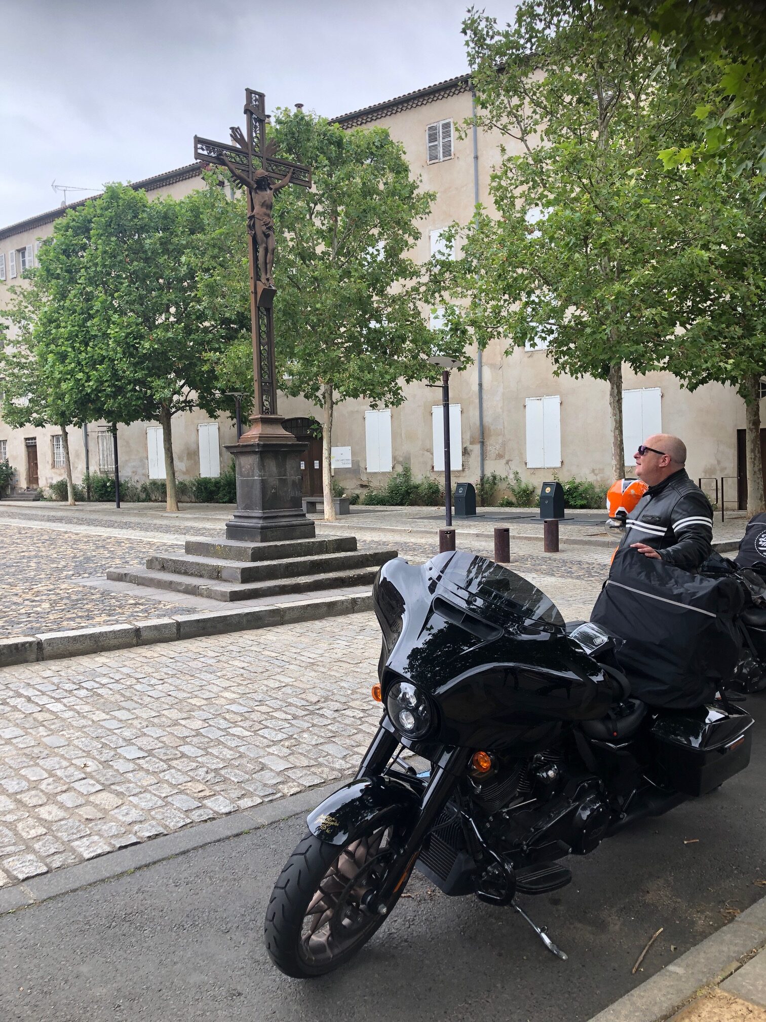
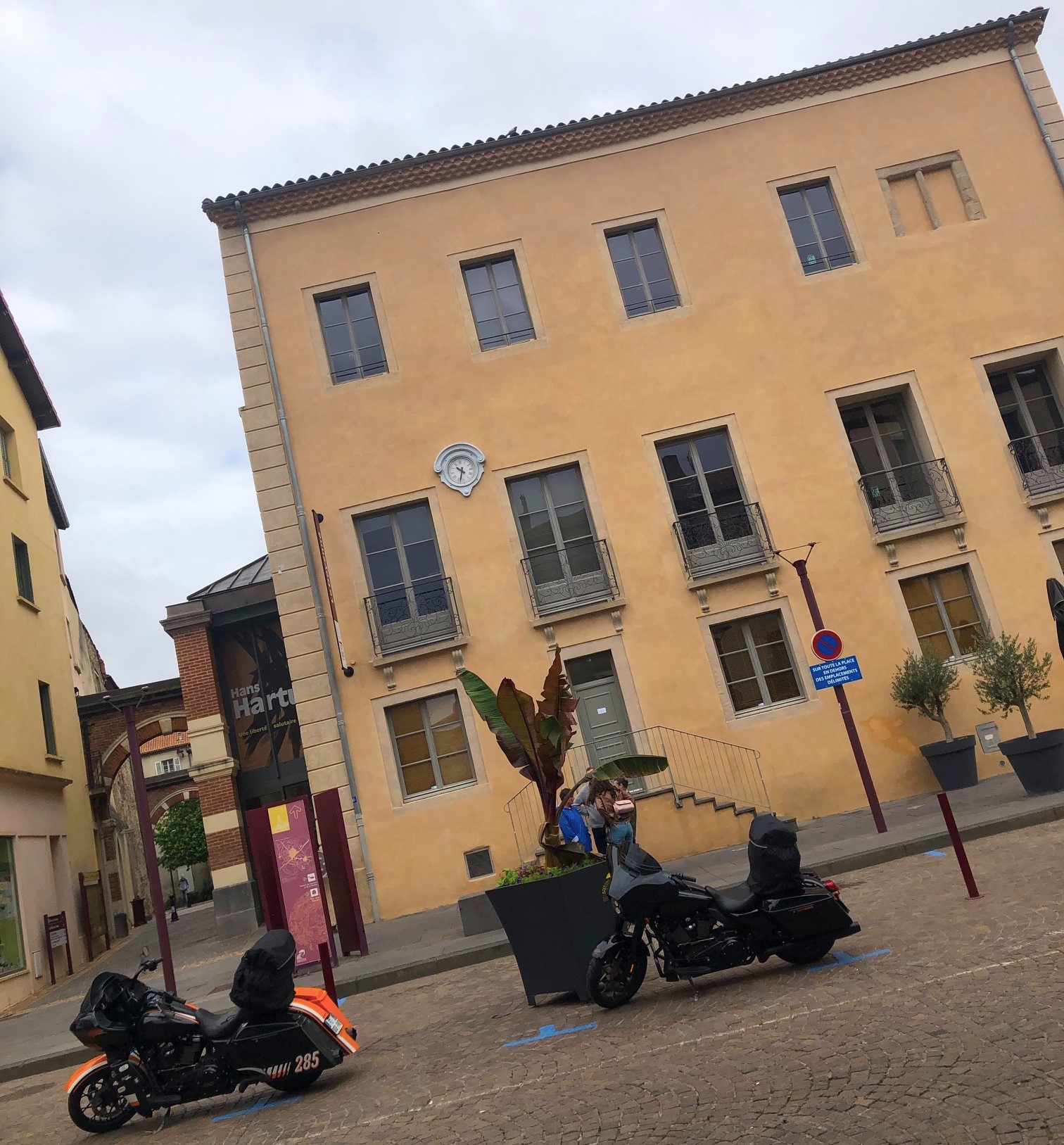
It was time on this Sunday morning to head to our next stage (which we chose for reasons we don’t exactly remember, based on the idea of: “Having no plan, just enjoy the road!”): the old city of BRIOUDE! (in south-central France).
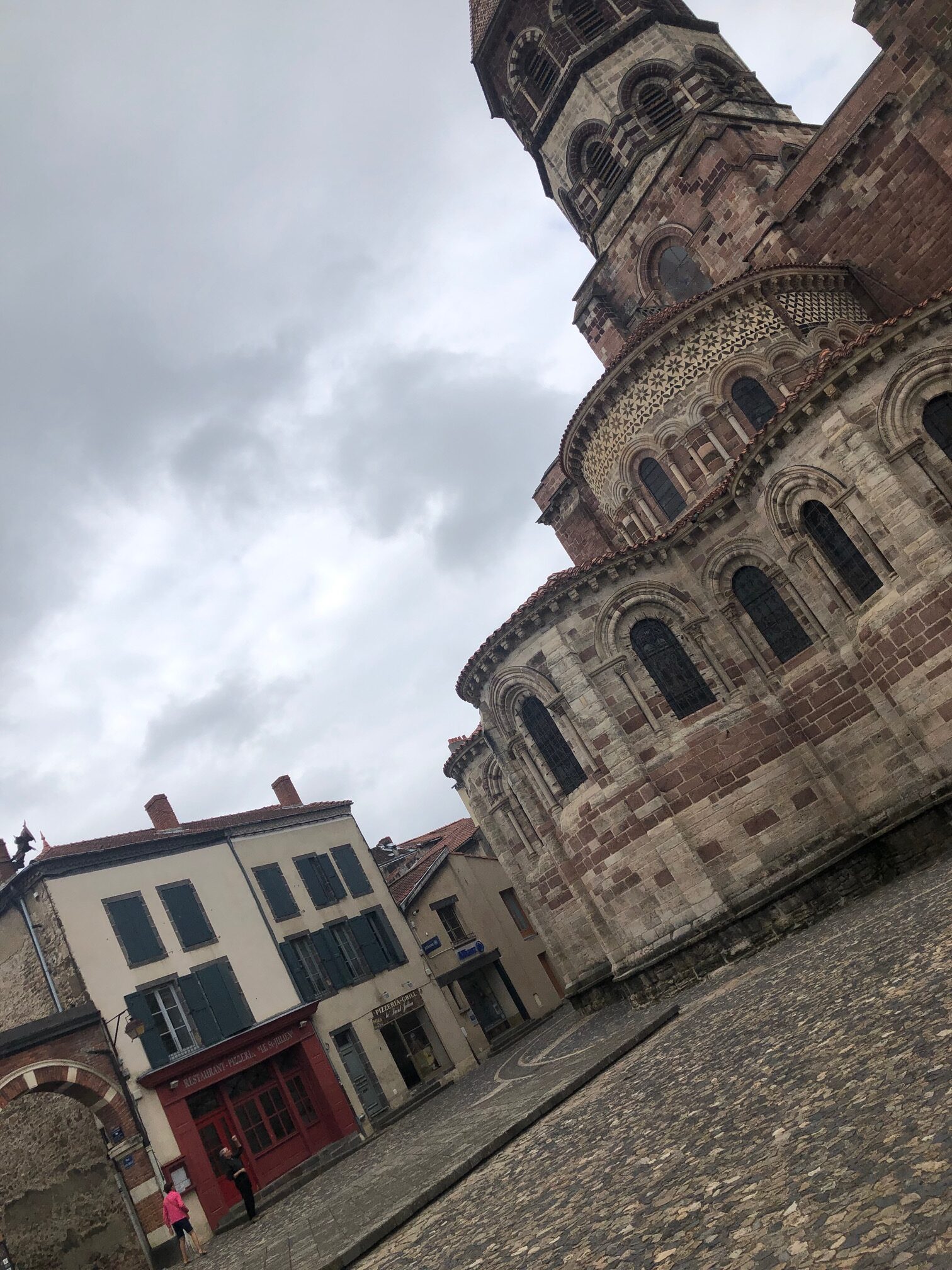
And its marvelous basilica, the largest Romanesque building in the Auvergne region.
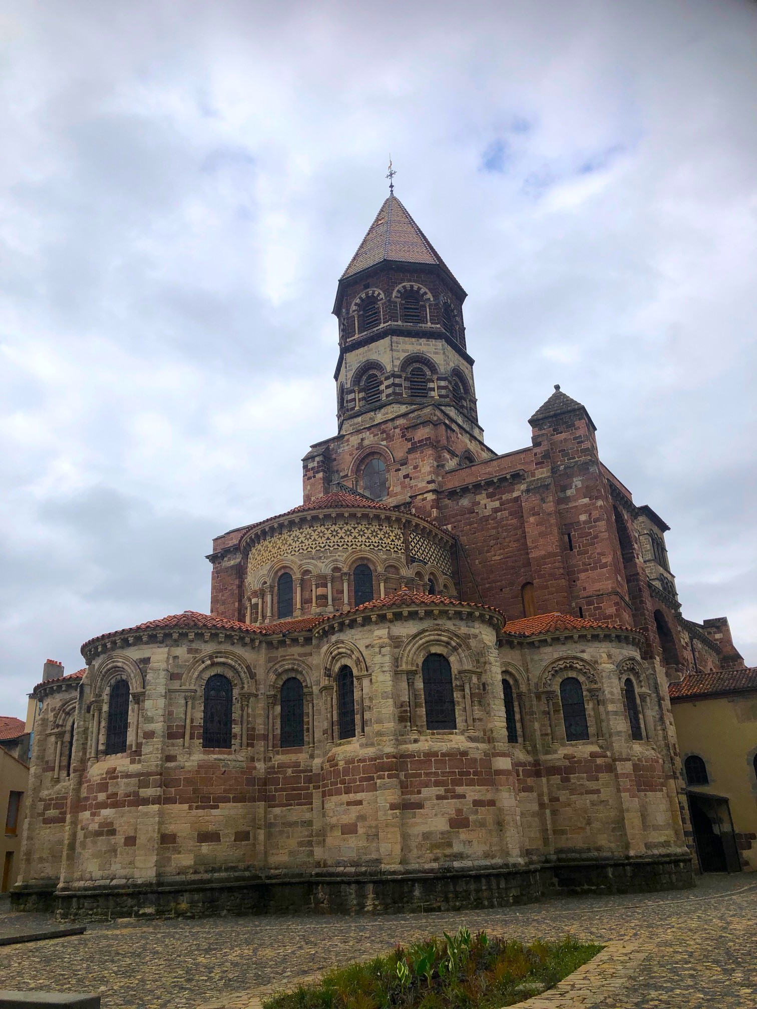
In the heart of the city, the largest of the Romanesque churches in Auvergne was built on the tomb of the martyr Saint-Julien who became the patron saint of the city, attracting a multitude of pilgrims… like Patrick (lol).
Brioude benefits from a privileged geographical location and a sunny and dry climate. Its colorful facades give the city a southern atmosphere.
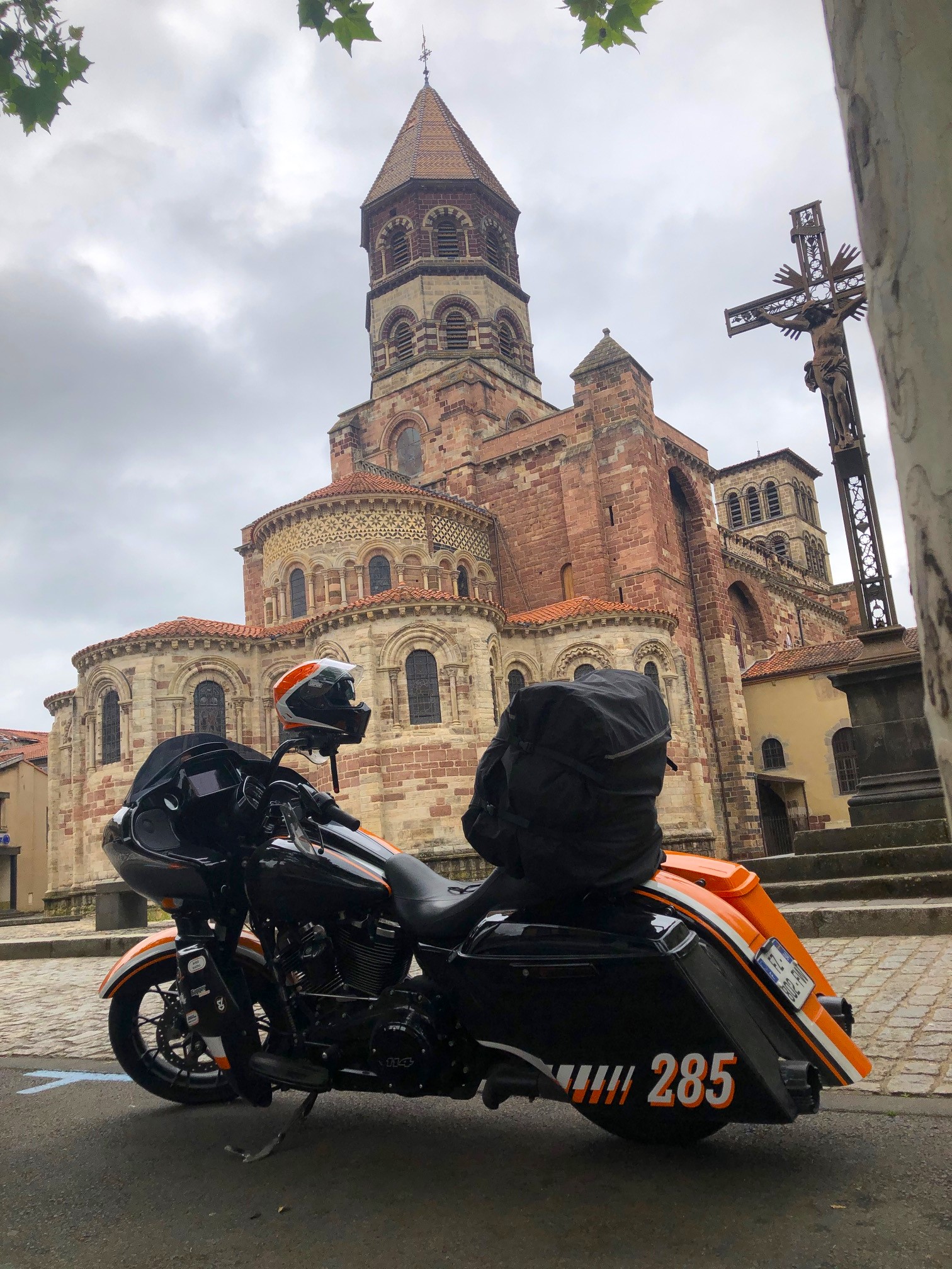
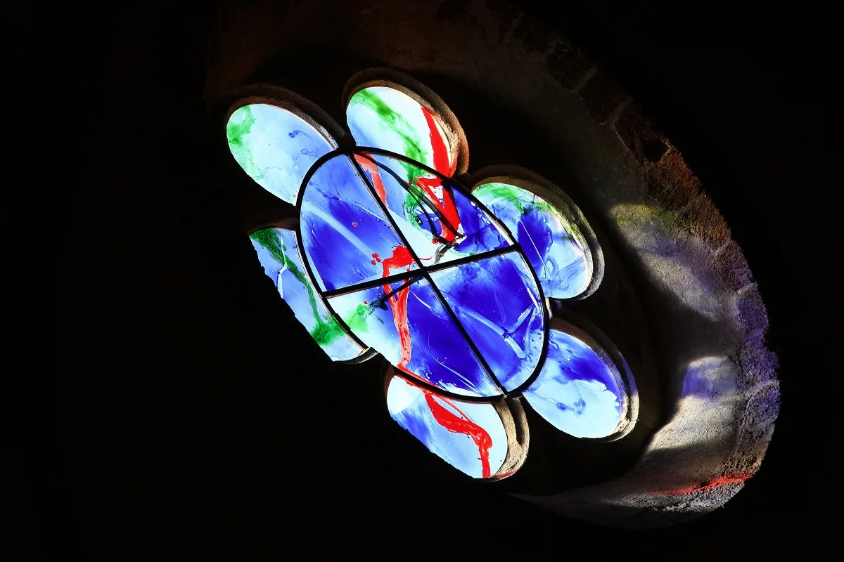
The Basilica of Saint Julien is remarkable for its polychromy, and for the contemporary stained glass windows, created by the artist Kim En Joong, which enhance the beauty of the largest Romanesque church in Auvergne.
Then, always under a cloudy sky (but luckily for us, it was not raining anymore and the temperature was around 15 Celsius degrees – 59°F)…
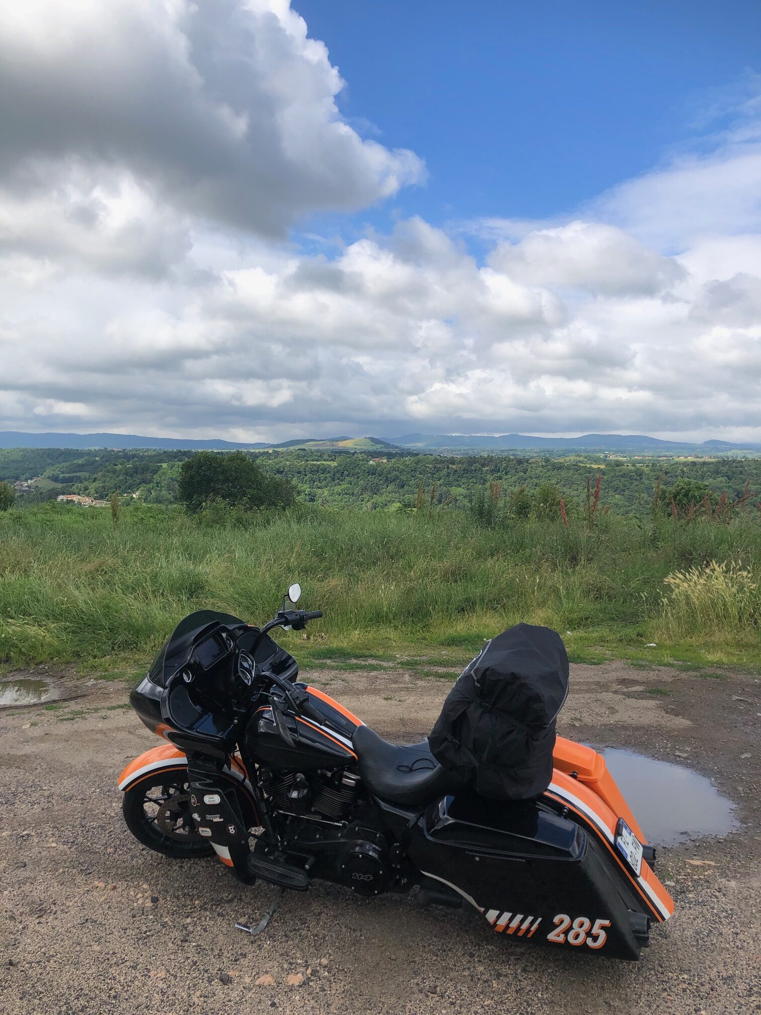
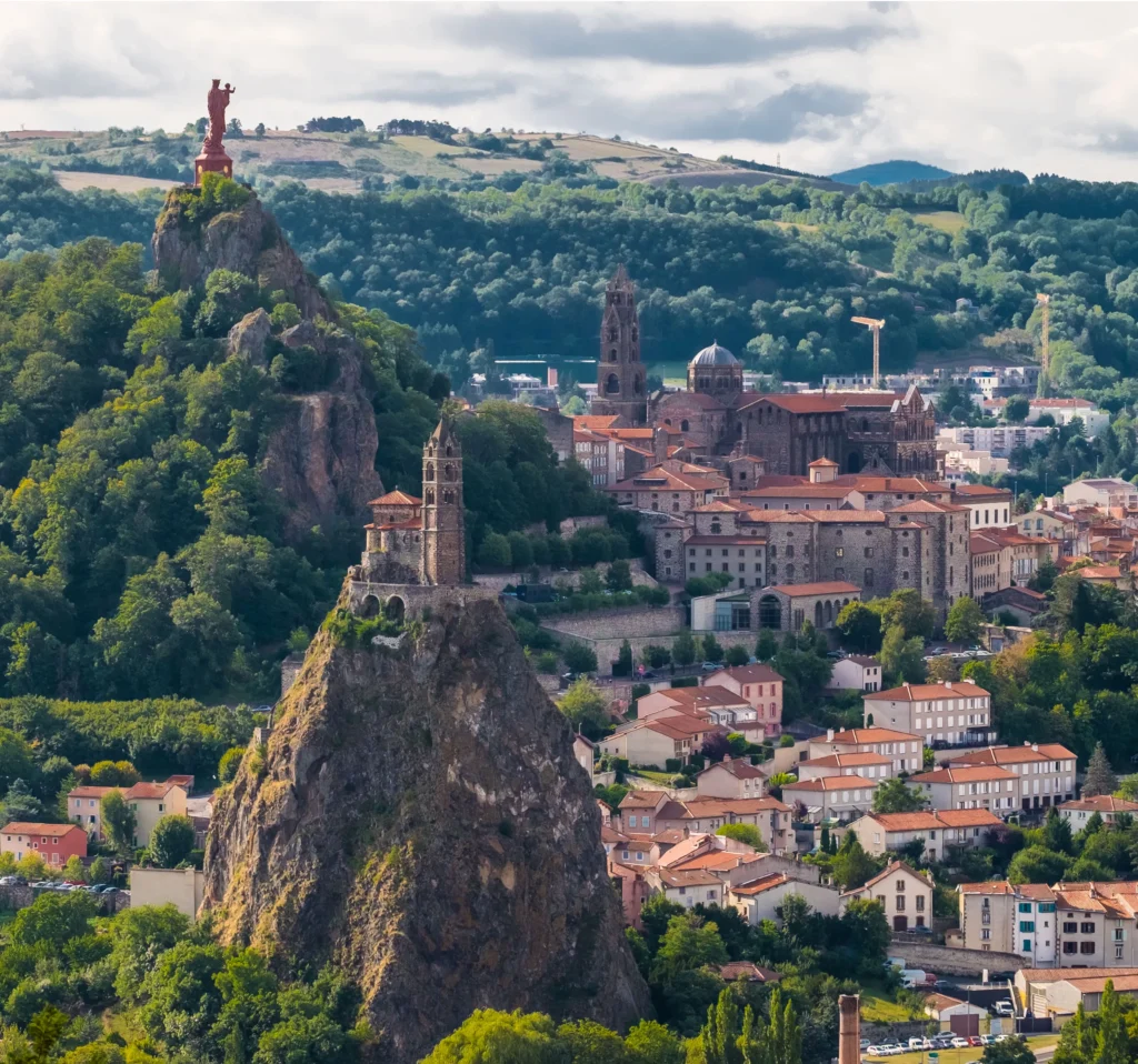
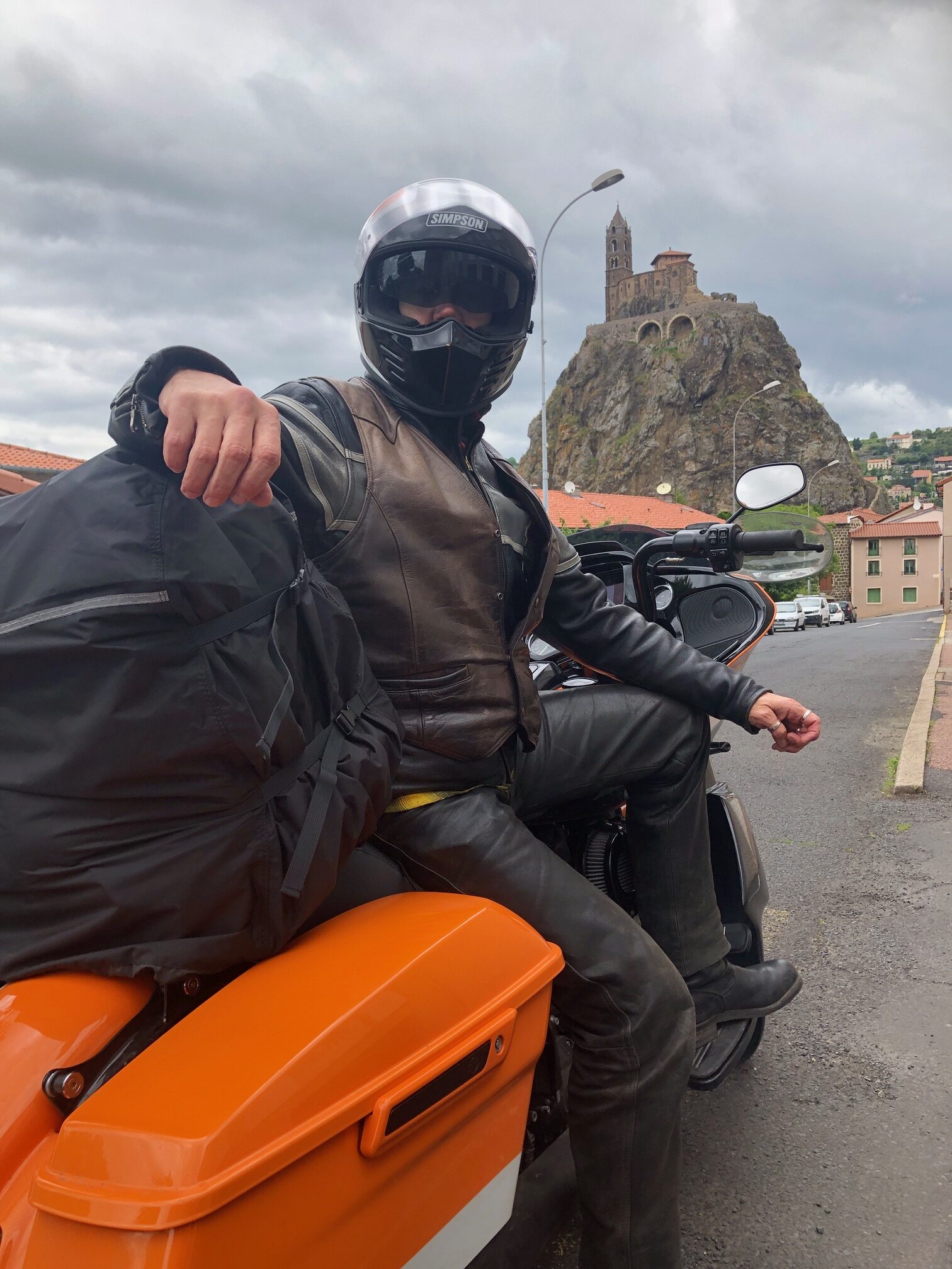
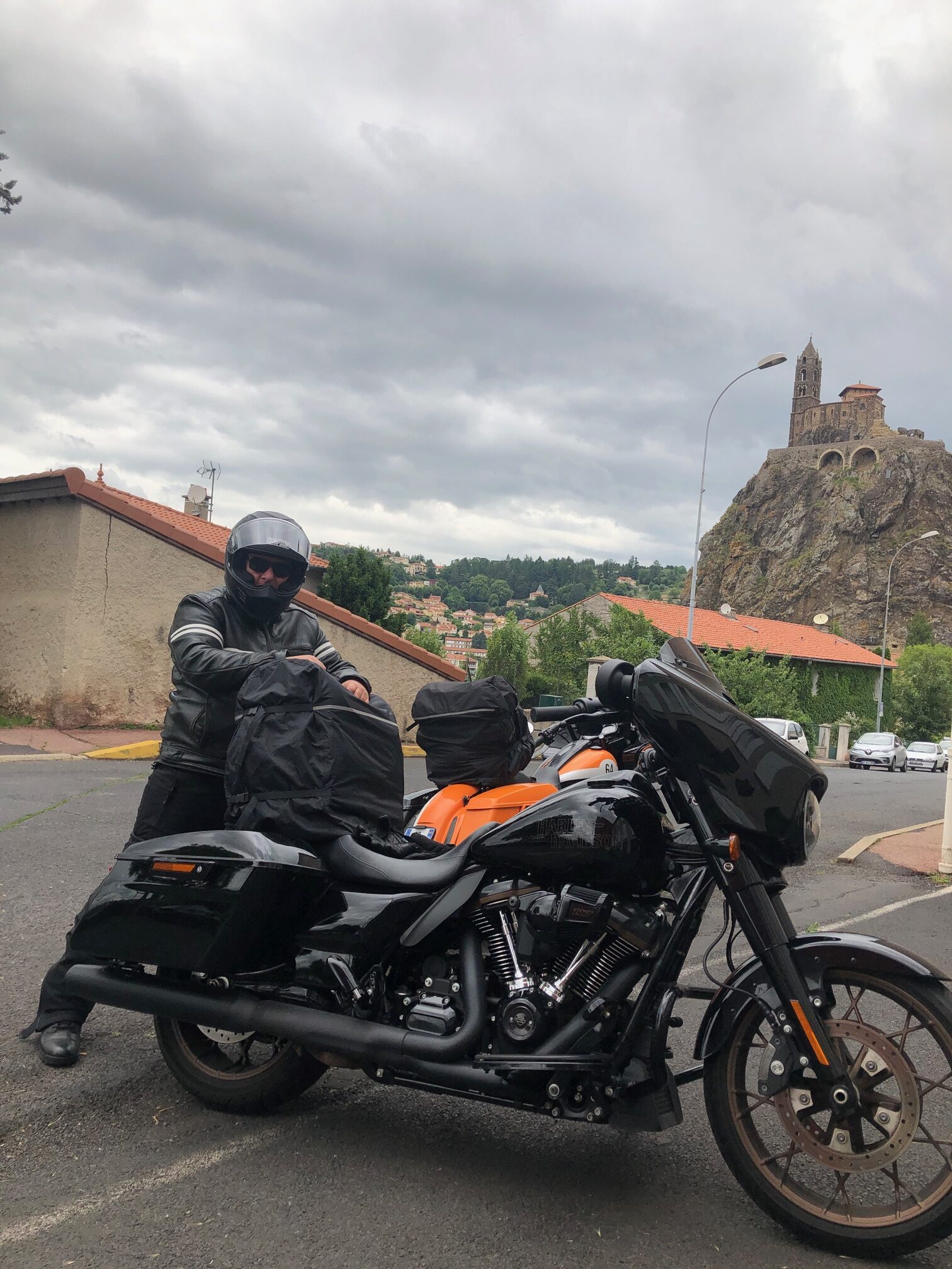
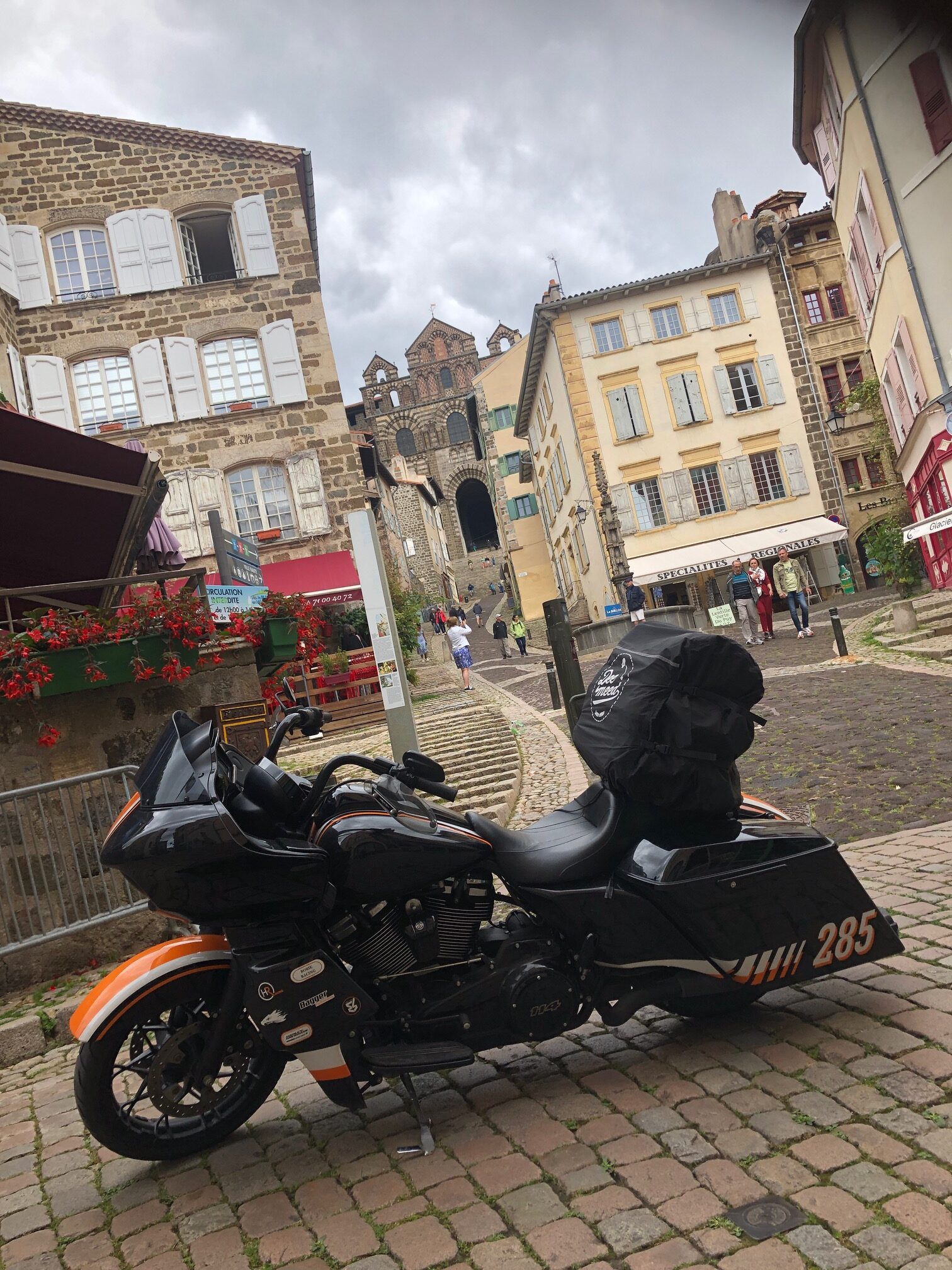
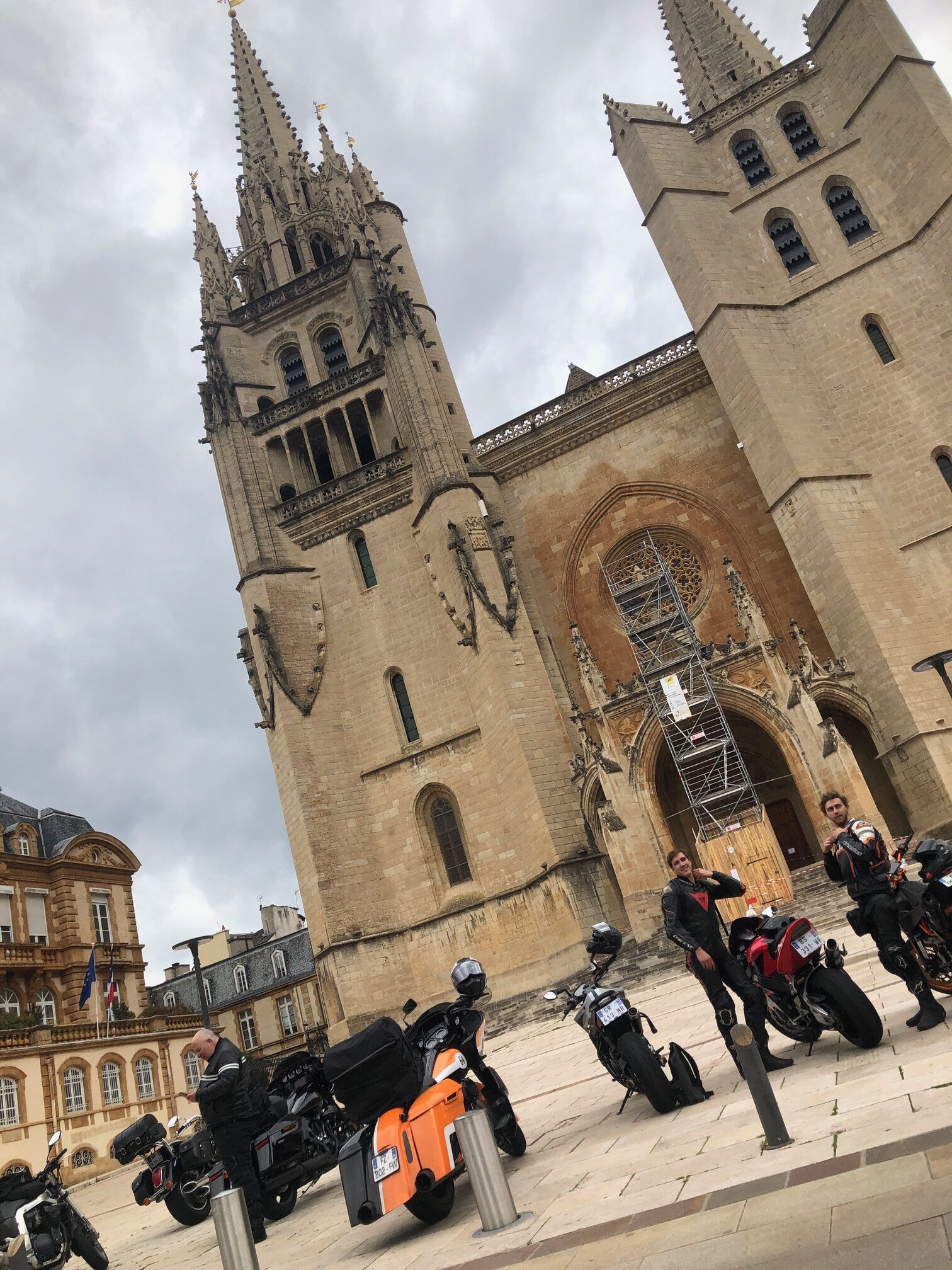
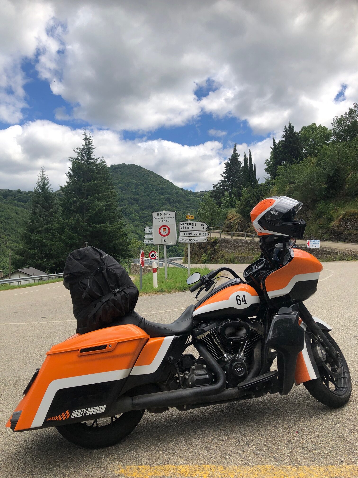
… it was time to ride to our next destination: the city of LE PUY EN VELAY.
Located near the river Loire, the city is famous for its cathedral…
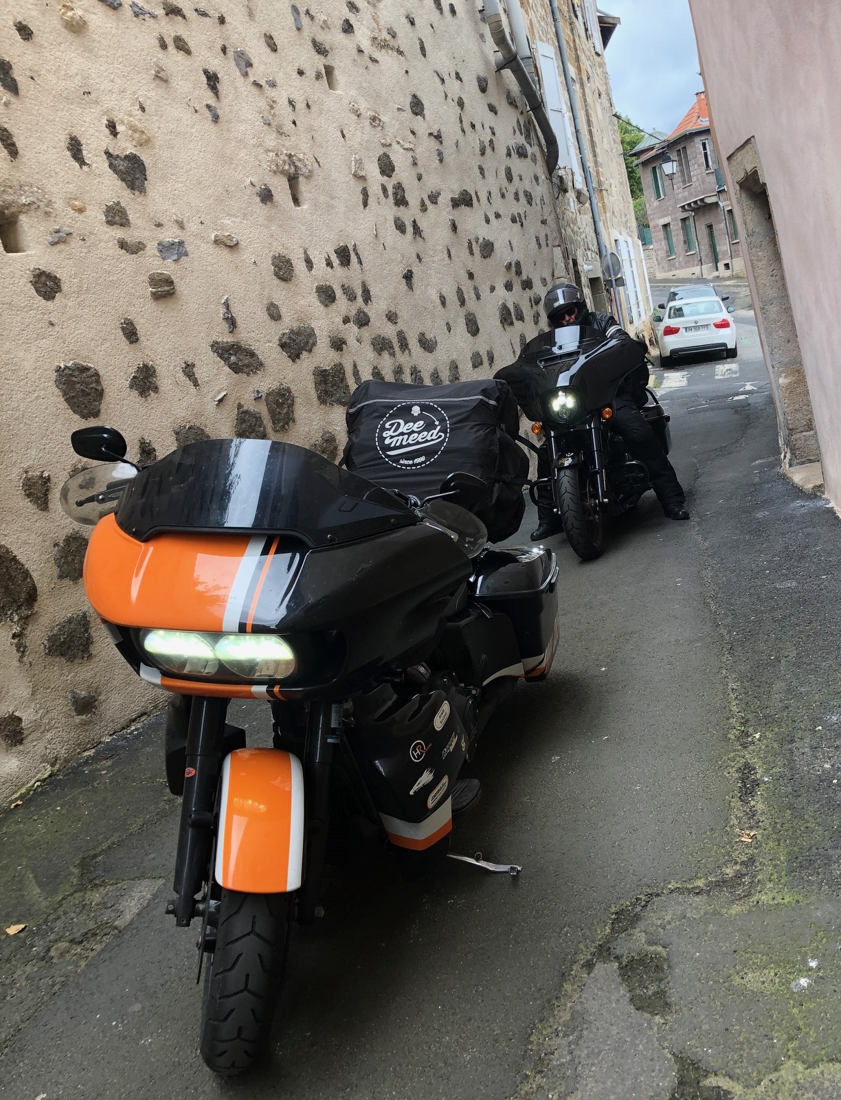
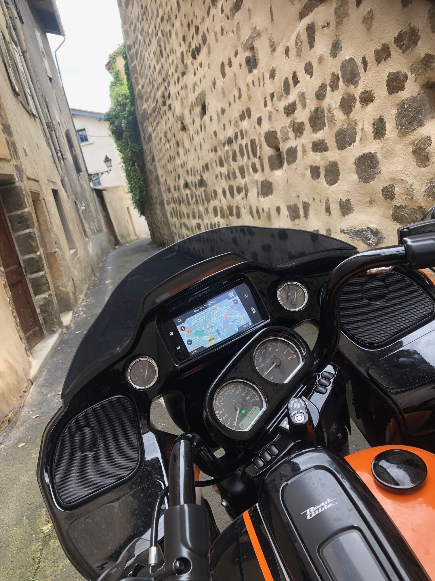
… for a kind of lentil, for its lace-making, as well as for being one of the principal starting points of the pilgrimage route of Santiago de Compostela in France. So, as good pilgrim-bikers, we entered the city, riding over cobbled and…
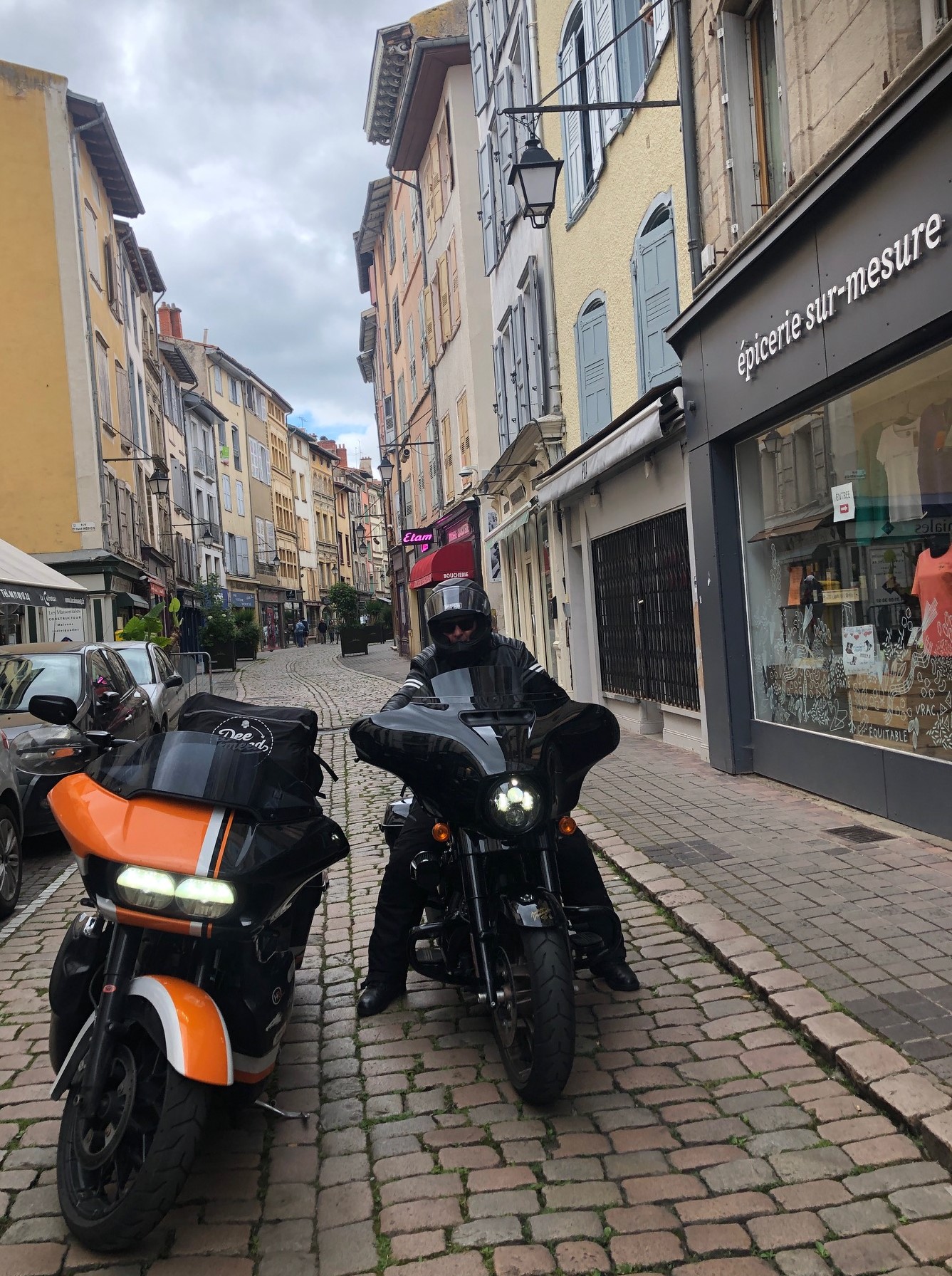
…very narrow streets.
Pilgrims were early visitors to Le Puy, and it was the most popular destination in France during the Middle Ages.
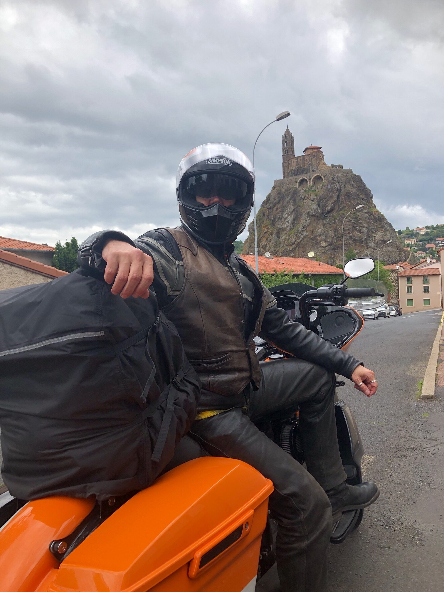
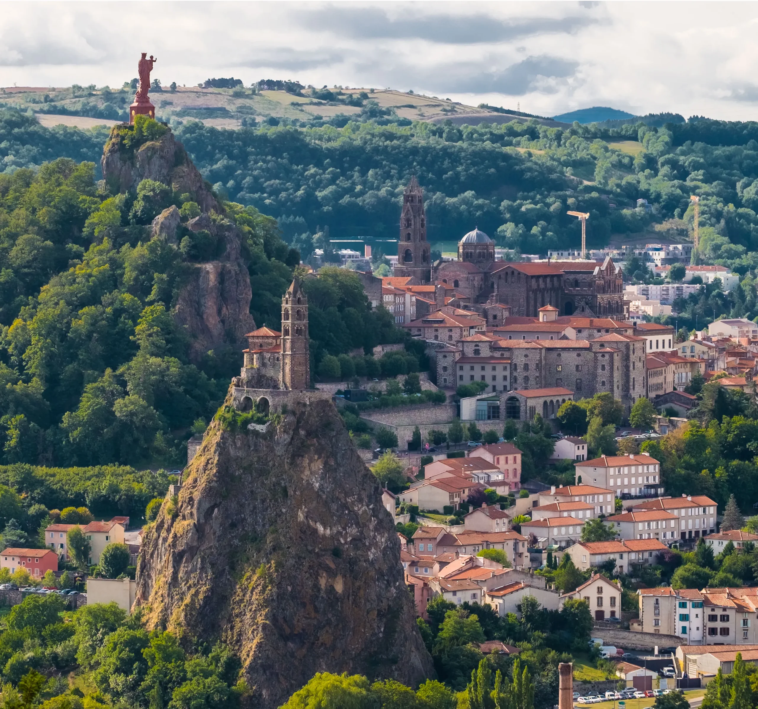
Le Puy-en-Velay’s most striking attraction is the Cathedral Notre-Dame du Puy, dating chiefly from the first half of the 12th century. The façade, striped in courses of white sandstone and black volcanic breccia, is reached by a flight of sixty steps, and consists of three tiers, the lowest composed of three high arcades opening into the porch, which extends beneath the first bays of the nave.
The iron statue of Notre-Dame de France (The Virgin Mary) overlooking the town is made from 213 Russian cannons taken in the Siege of Sevastopol (1854-1855). It was presented to the town on 12 September 1860 in front of 120,000 people.
Each morning, pilgrims gather to be blessed before starting their journey to Santiago de Compostela. The cathedral has been a UNESCO World Heritage Site since 1998.
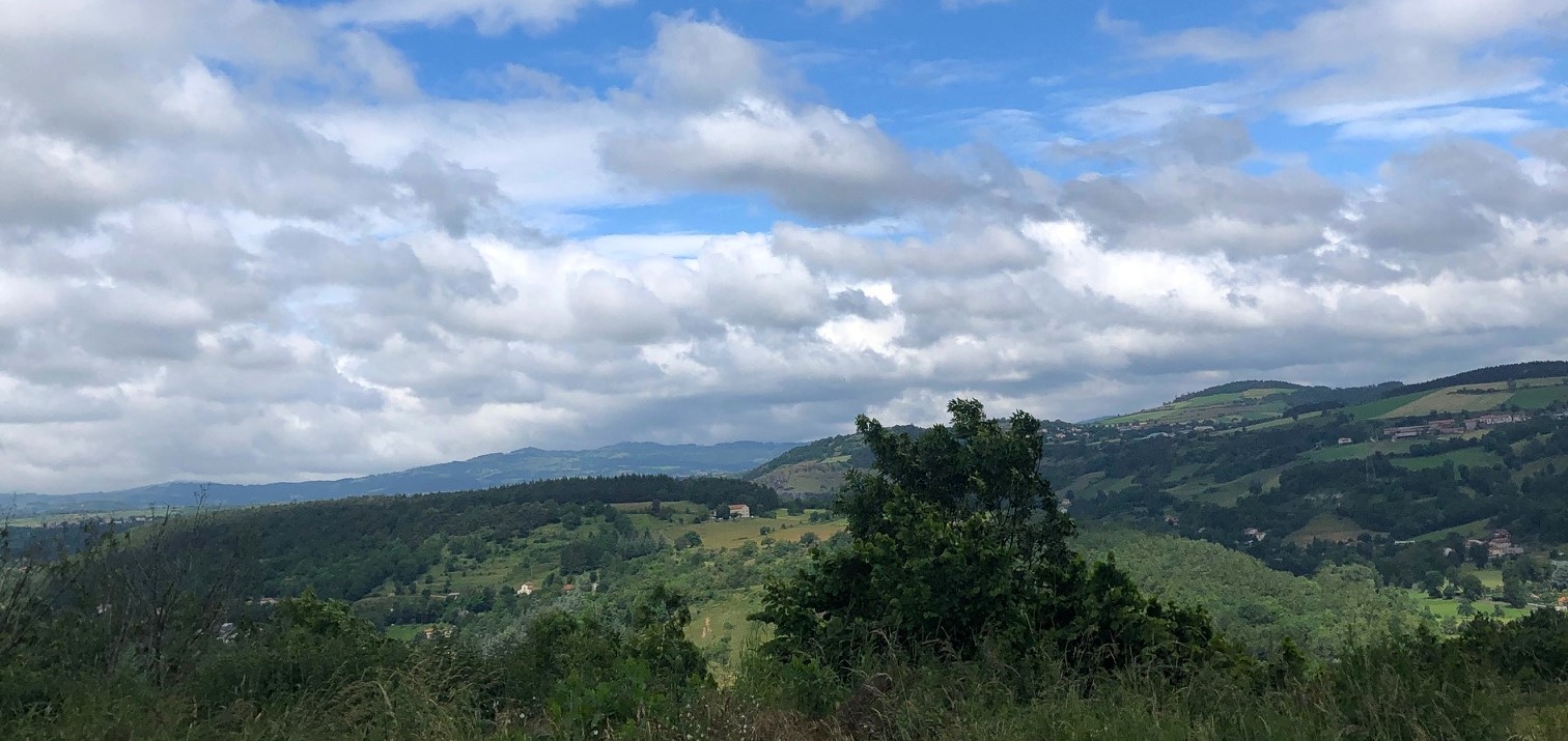
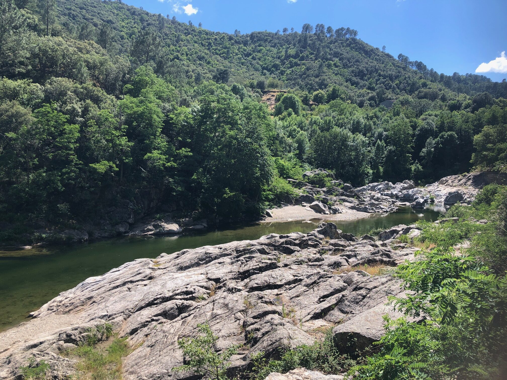
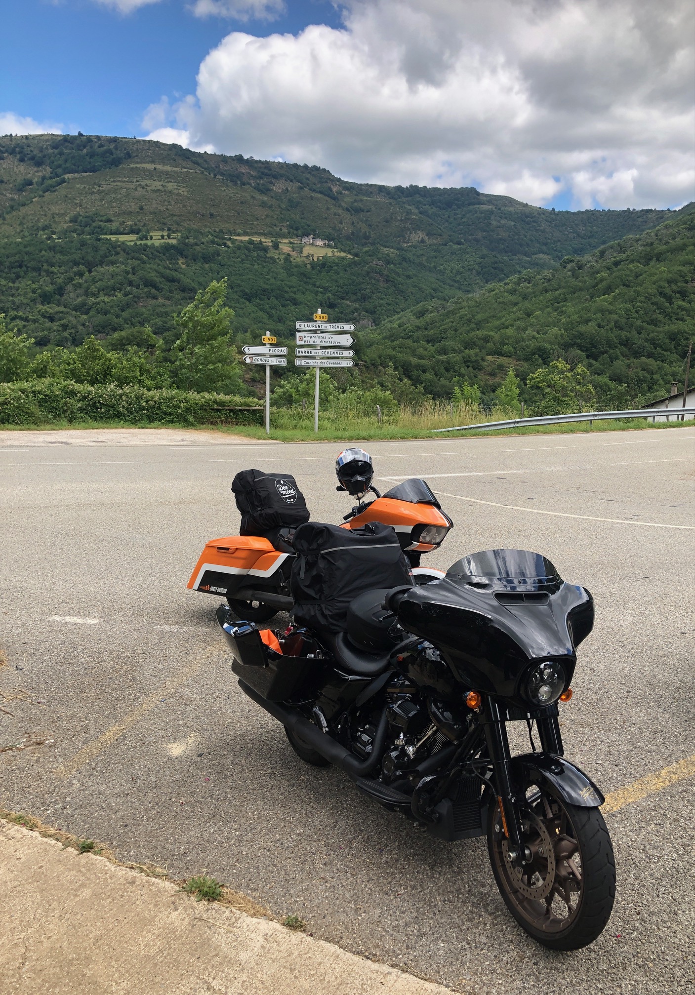
Back on the road, to cross the beautiful countryside and its little villages. Go South!!!
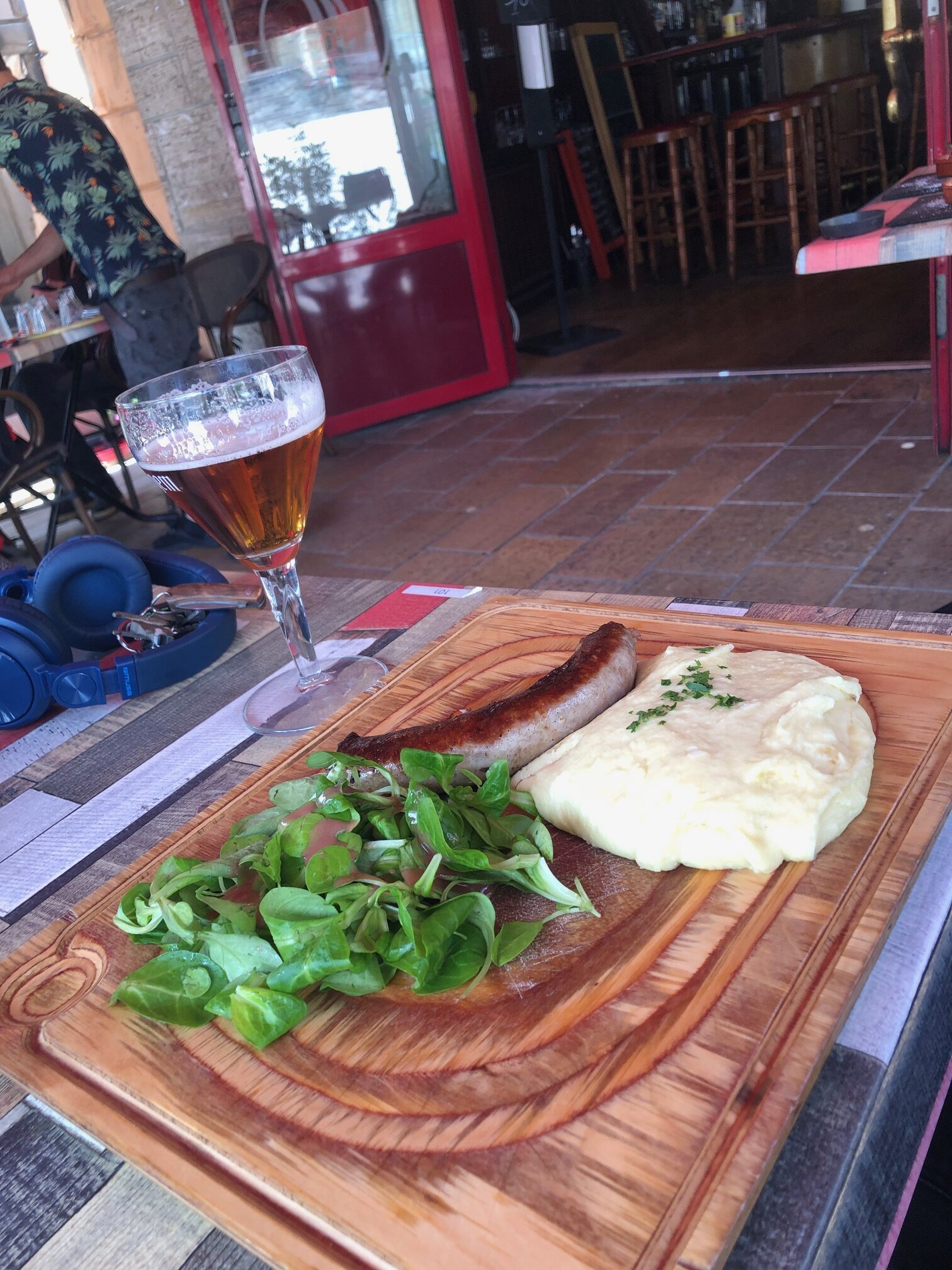
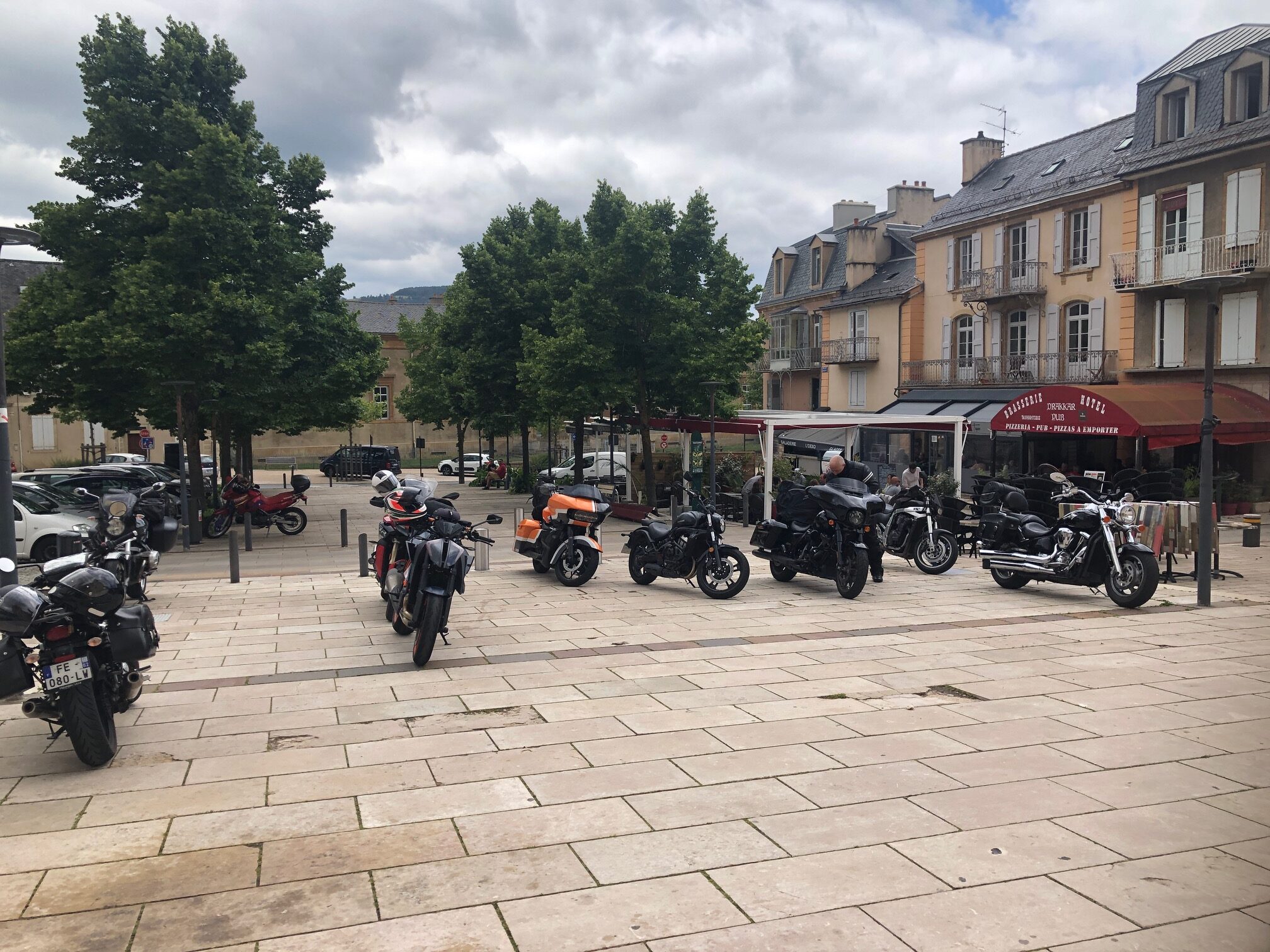
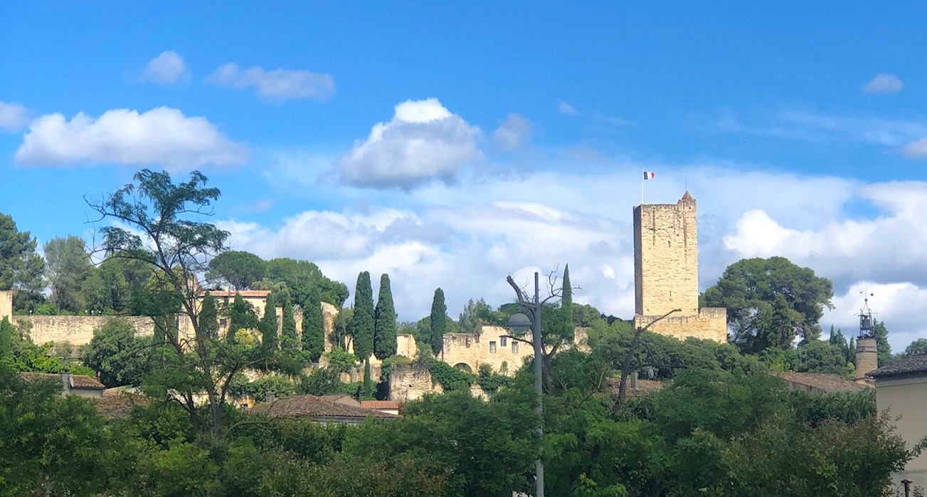
It’s time to take a break in the city of MENDE, which, strictly speaking, dates from the Middle Ages.
Bikers usually make a stop at the Cathedral Notre-Dame and Saint-Privat to have a coffee…
…or something more local like an Aligot (remember this dish: GO TO THE ALIGOT!!! – Iron Trader News).
Mende Cathedral is a Roman Catholic Cathedral and Minor Basilica, located in the Department of Lozère. Construction began in 1369 on the initiative of Pope Urban V (he was a native of the region).
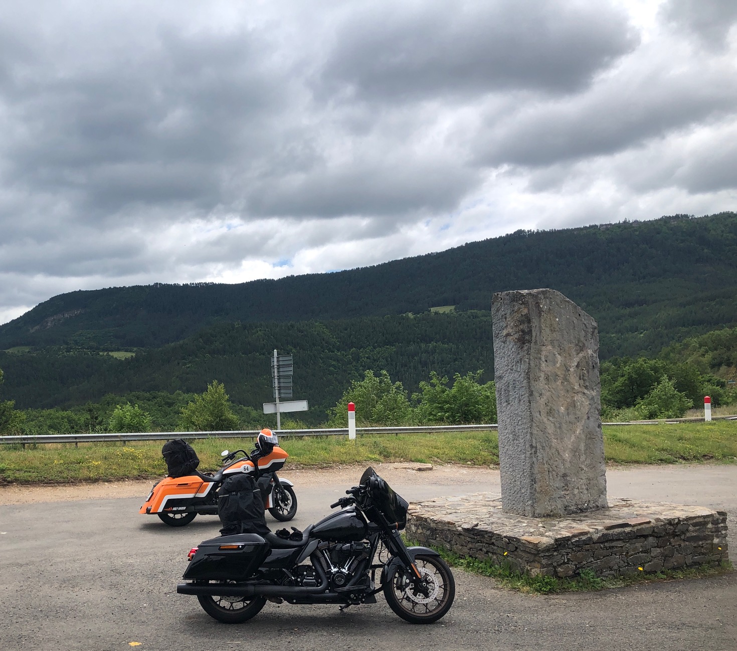
History is everywhere in France … when on the road right after Mende you make a stop to drink some water at an anonymous little parking lot lost in the middle of nowhere, you face a memorial of WWII.
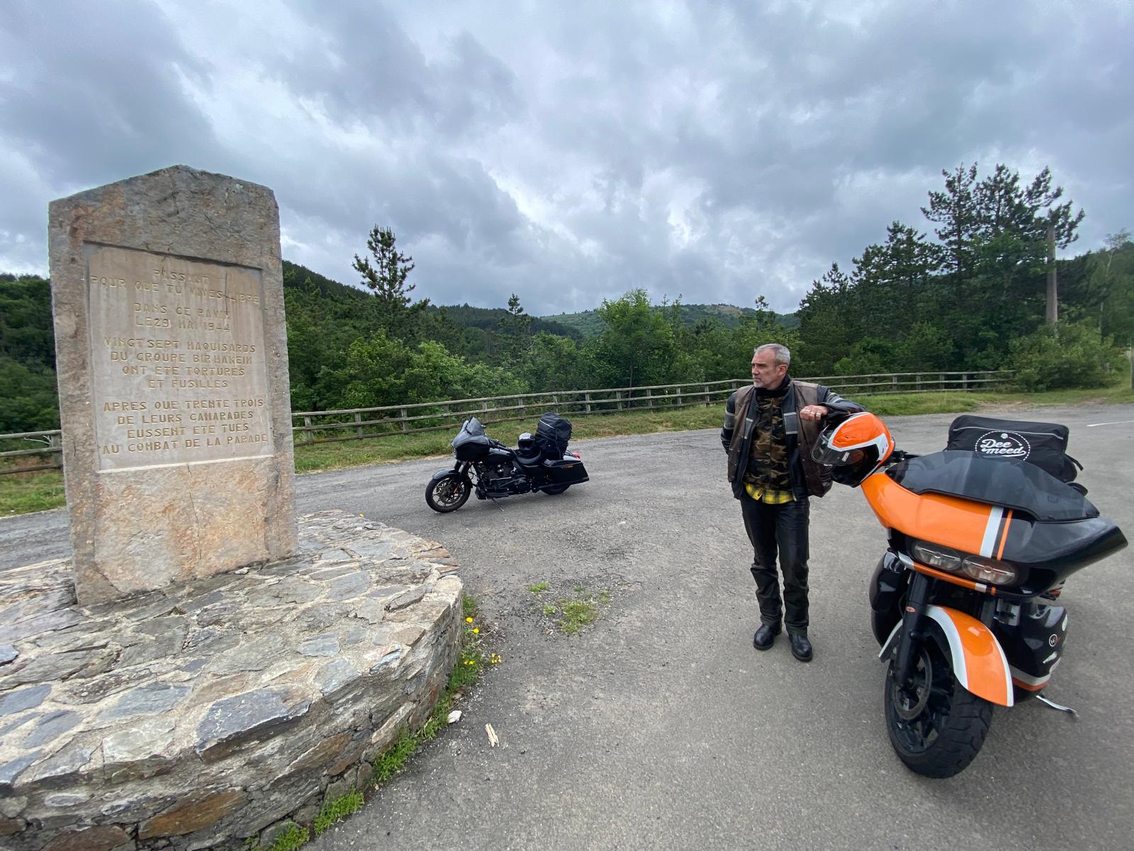
This simple monument is a tribute to the memory of a horrific event which took place on May 28, 1944, in La Parade, where twenty-seven fighters from the Bir Hakeim resistance group were taken prisoner by the Germans during the fighting or after surrendering. Transported to Mende, most of them were savagely tortured. The next day, May 29, they were executed in a ravine under the Col de Tourette (commune of Badaroux) near the railway line.
On the road again!
It’s time to cross this magnificent county in the direction of the great south …
… to the city of SOMMIERES.
The village first settled on the arcades of the Roman bridge on the Vidourle river, built by Roman Emperor Tiberius during the first century. The village grew in the protection of the castle. It was annexed into the French kingdom by King Louis IX in 1248, following the crusade against the Albigensians. It became a Protestant stronghold, and it was besieged by the Catholics in 1573 and again by Louis XIII in 1622.
And finally, on the third day, the sun decided to join us. It was about time! We were now in the south of France and it really felt like vacation time. Yes!!!
After some pleasures …
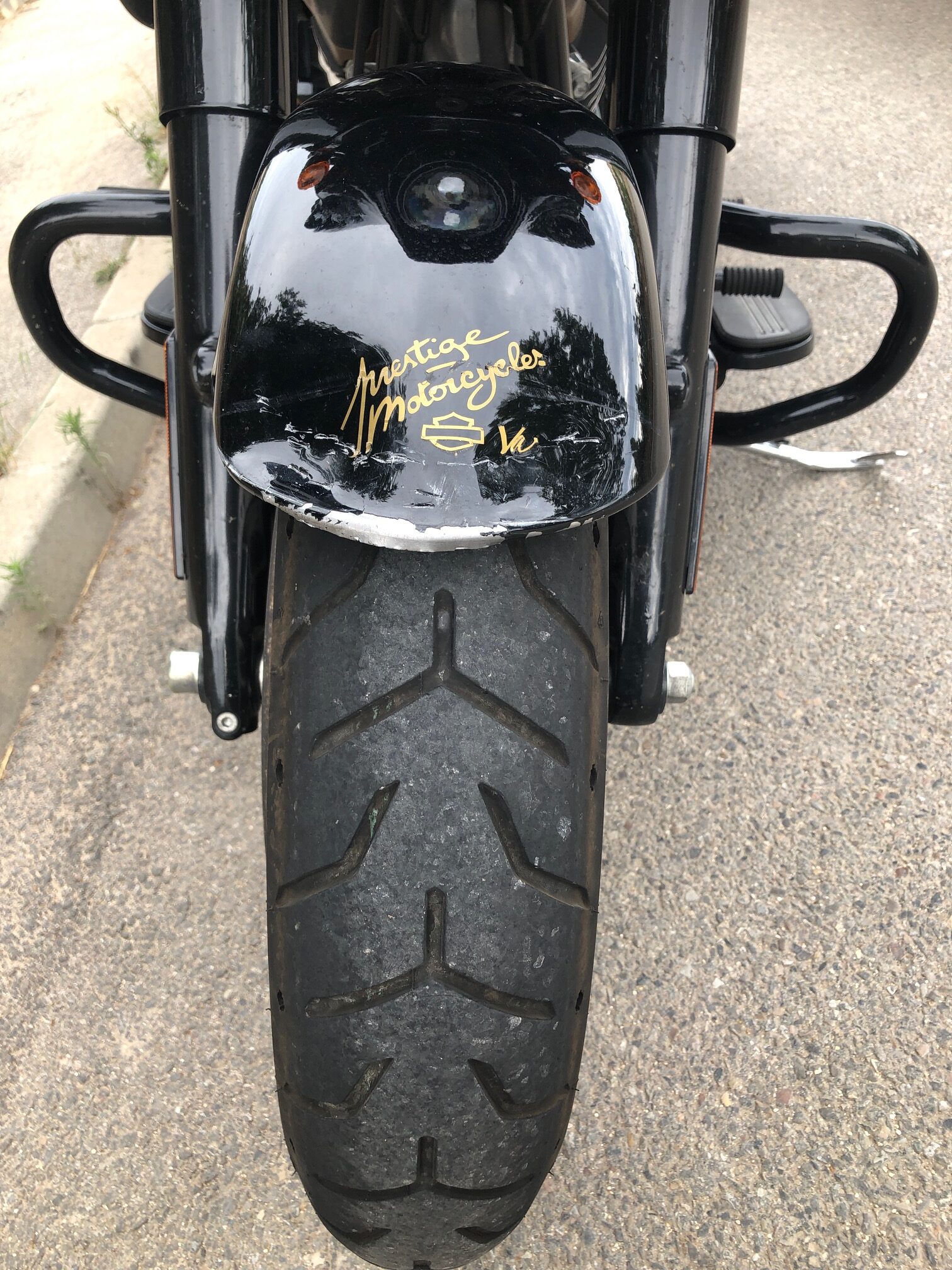
… and some inconveniences (In the city center of MARSEILLE, in traffic, Patrick missed a brake and hit a car – nothing serious. With a good pair of pliers, I straightened the fender and we were able to continue on our way)…
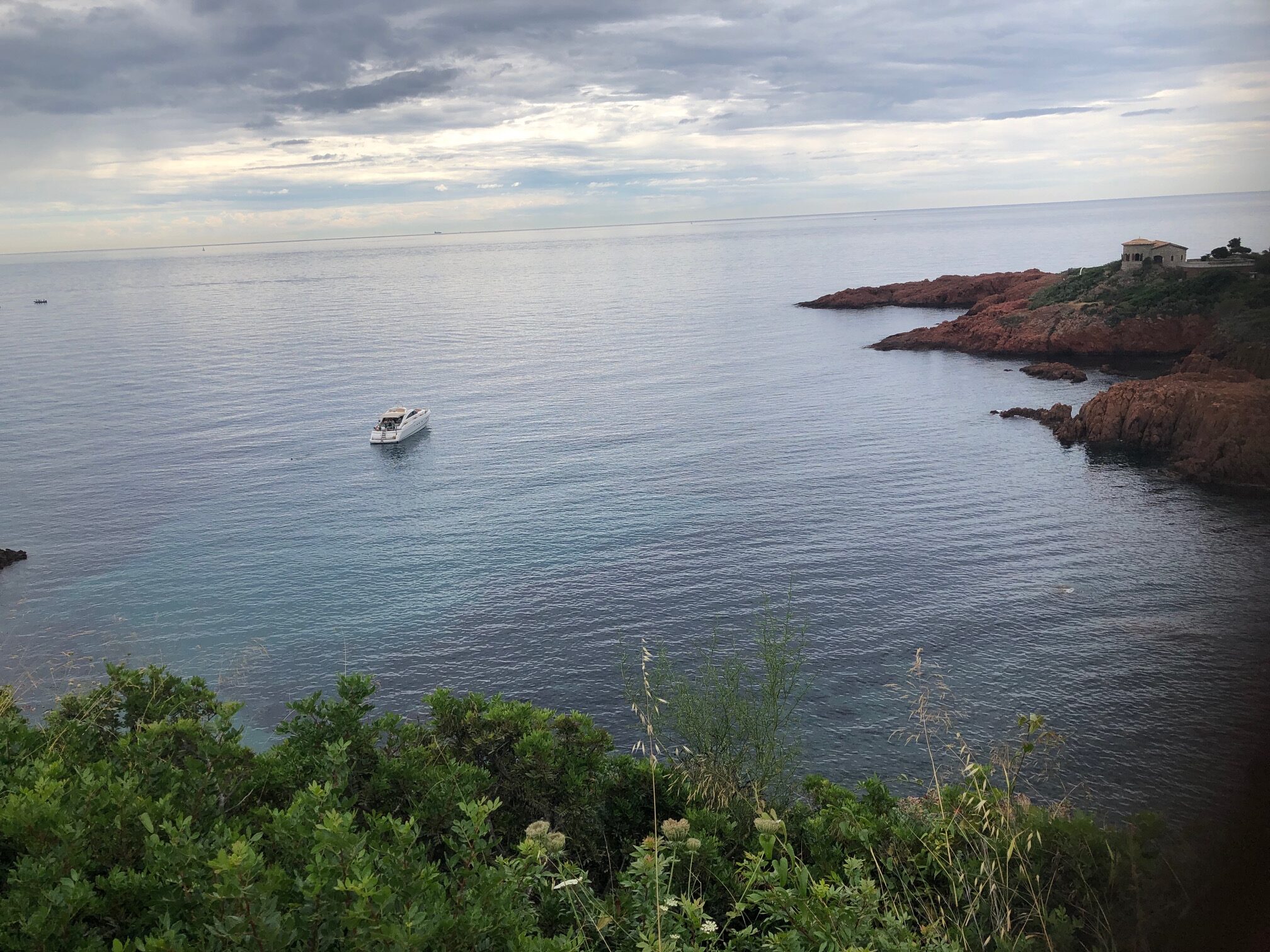
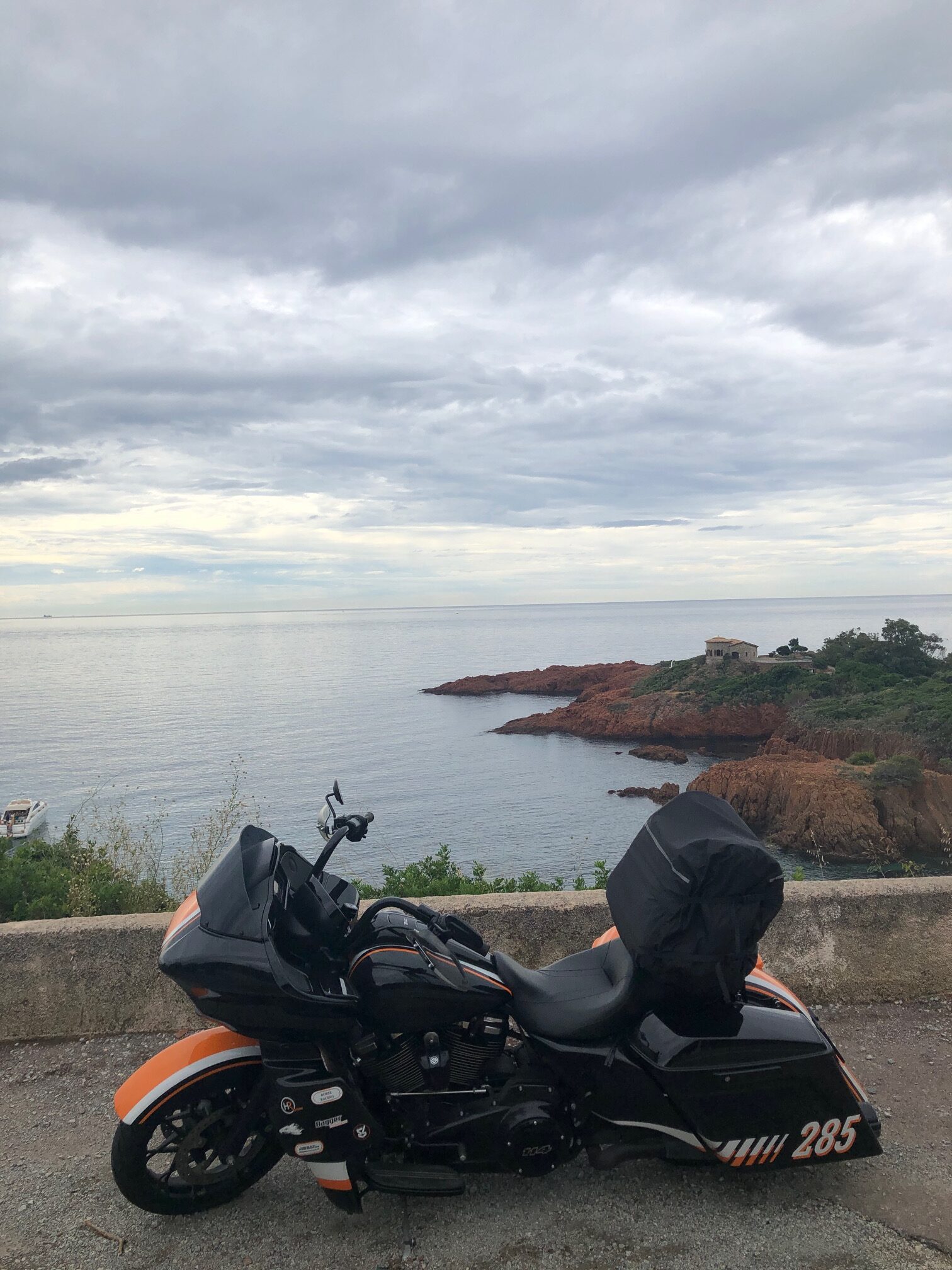
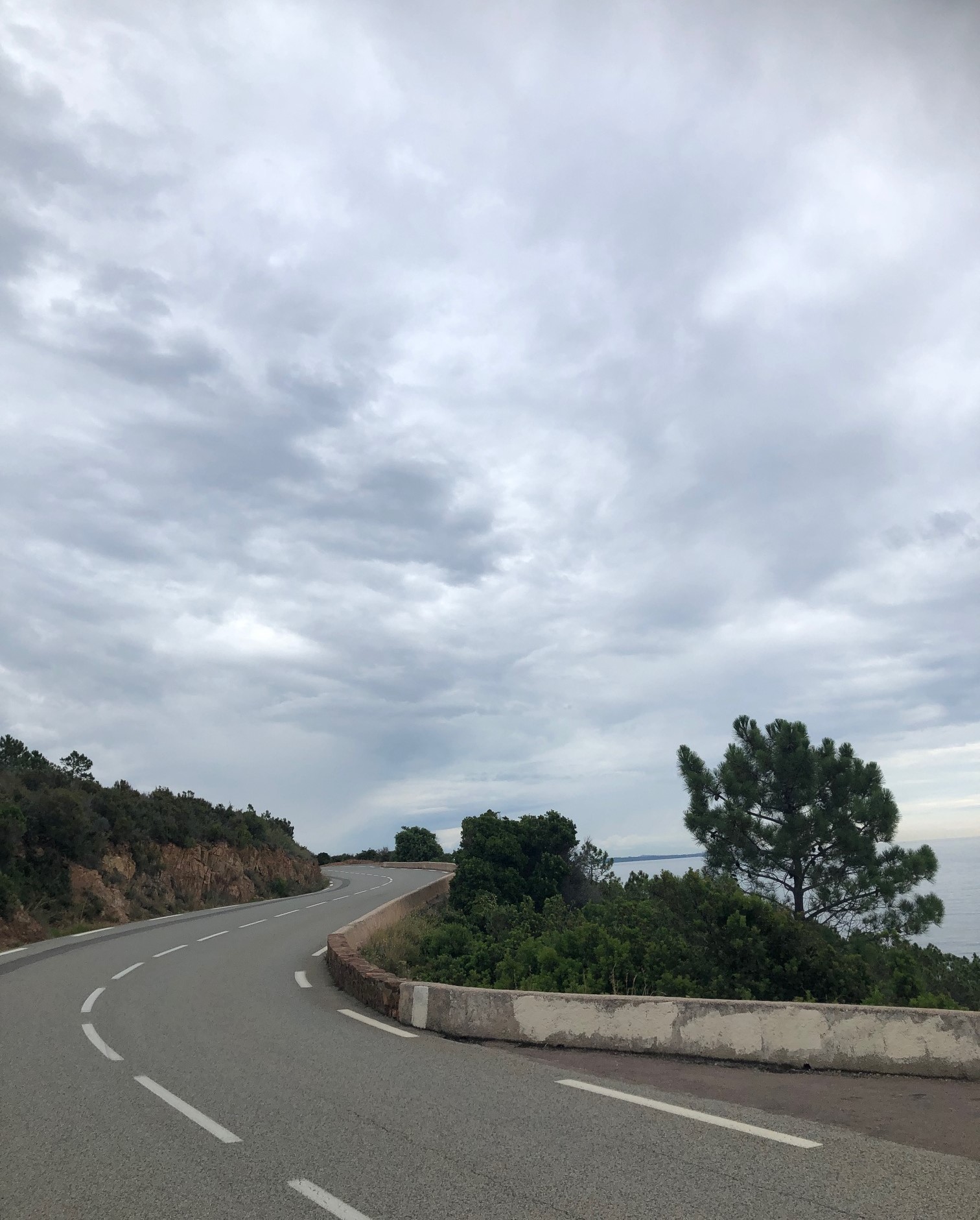
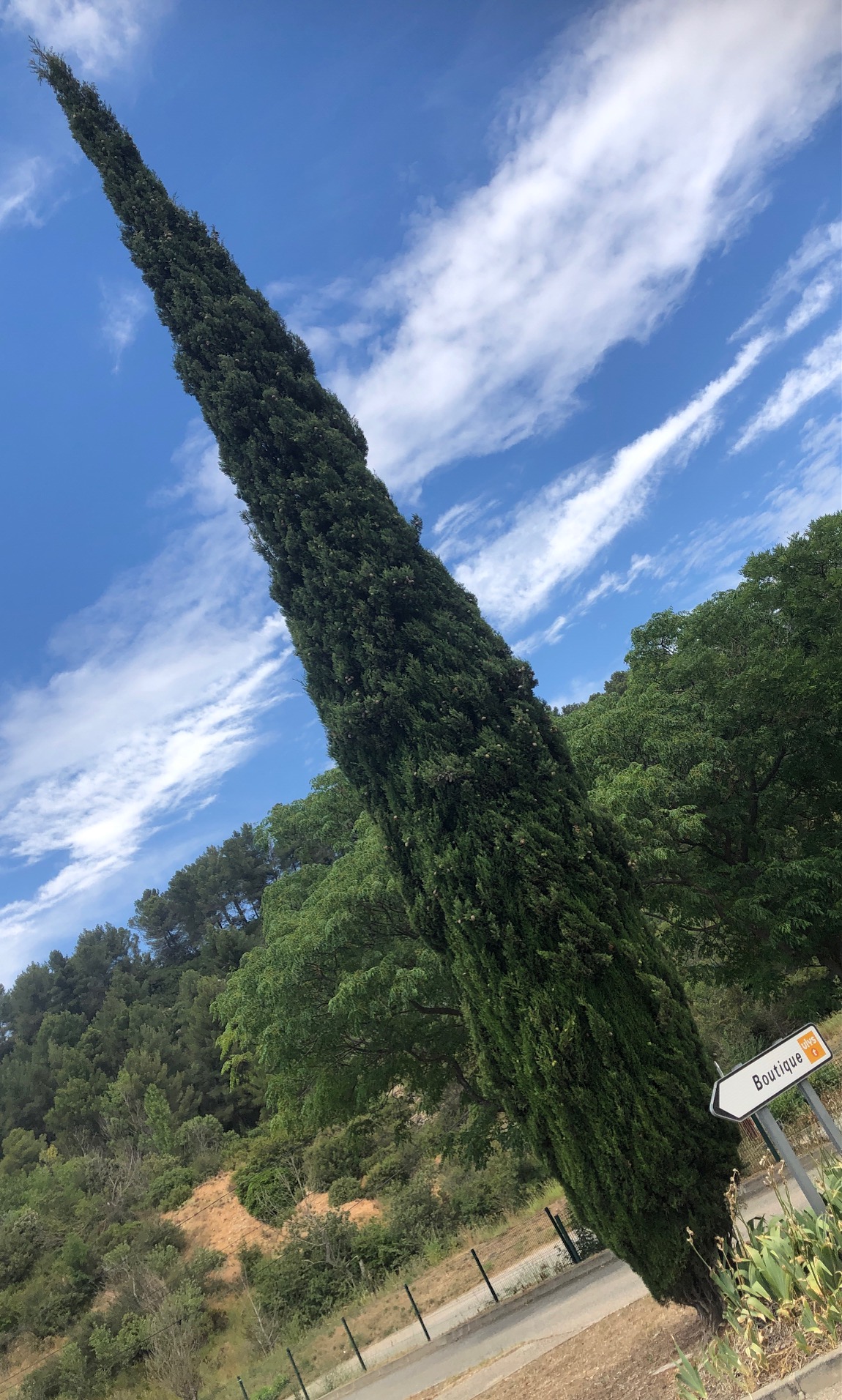
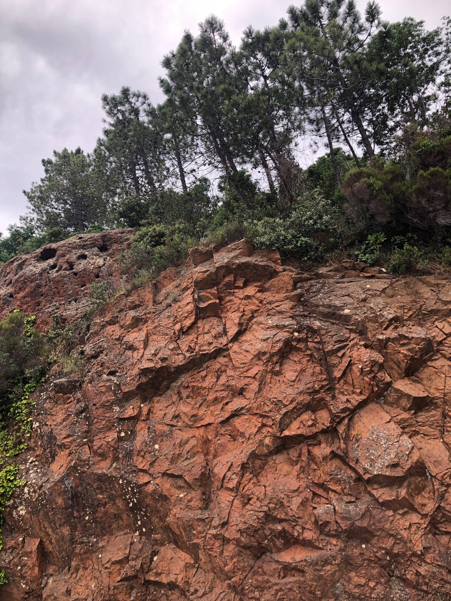
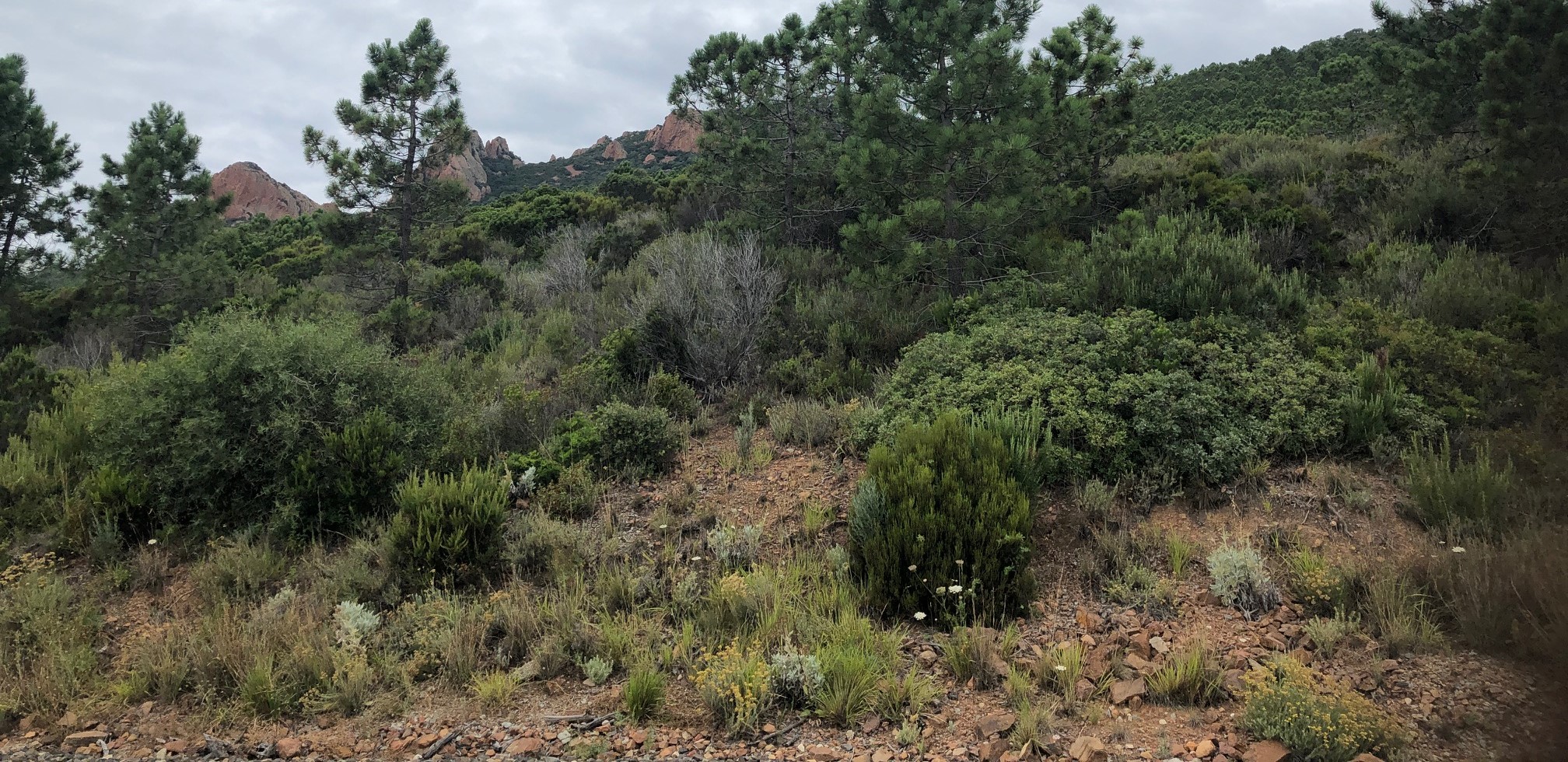
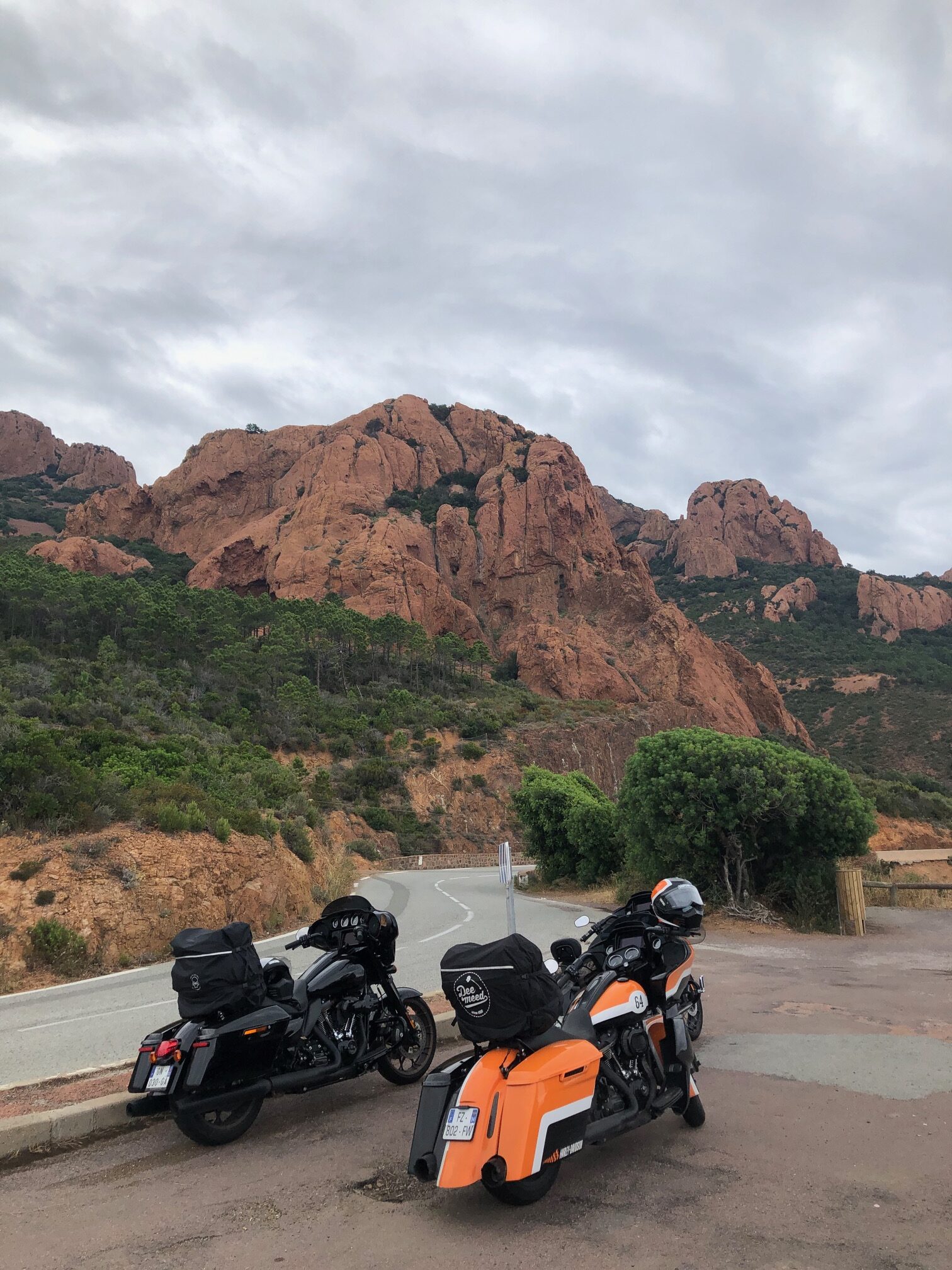
And we arrived on the Côte d’Azur, with its palms and cypresses.
The idea then was to join Jean-Paul’s home (a friend of Patrick) who would join us to share the road on our fourth day of the trip.
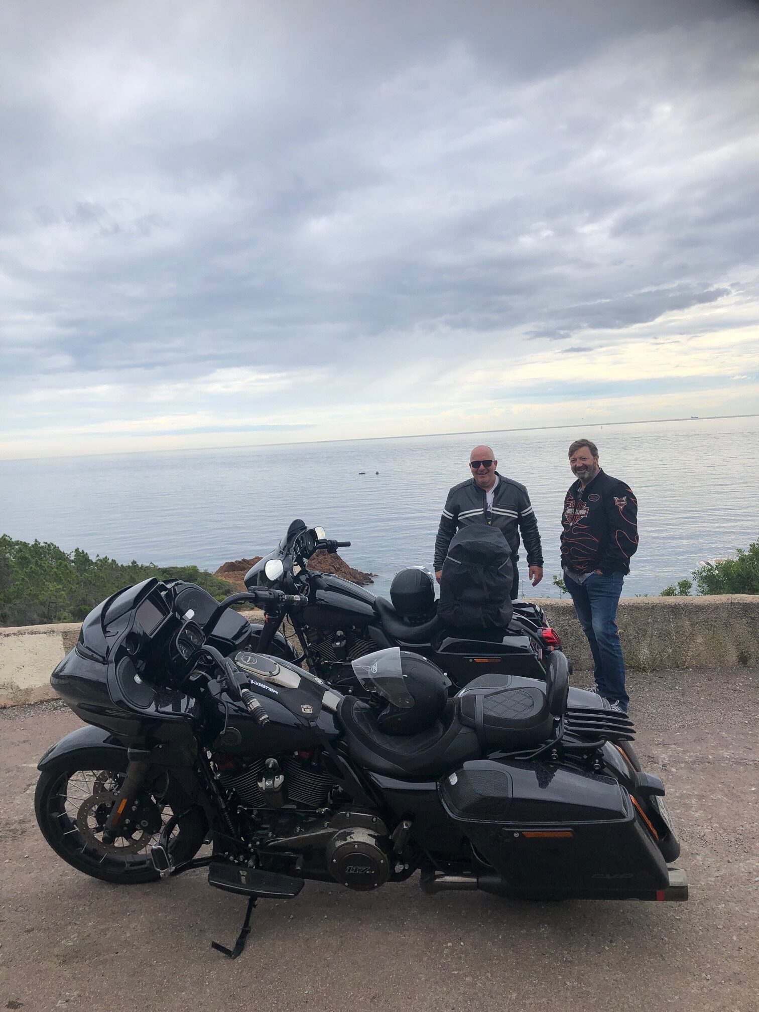
And Jean-Paul took the lead to make us discover the magnificent coast road.
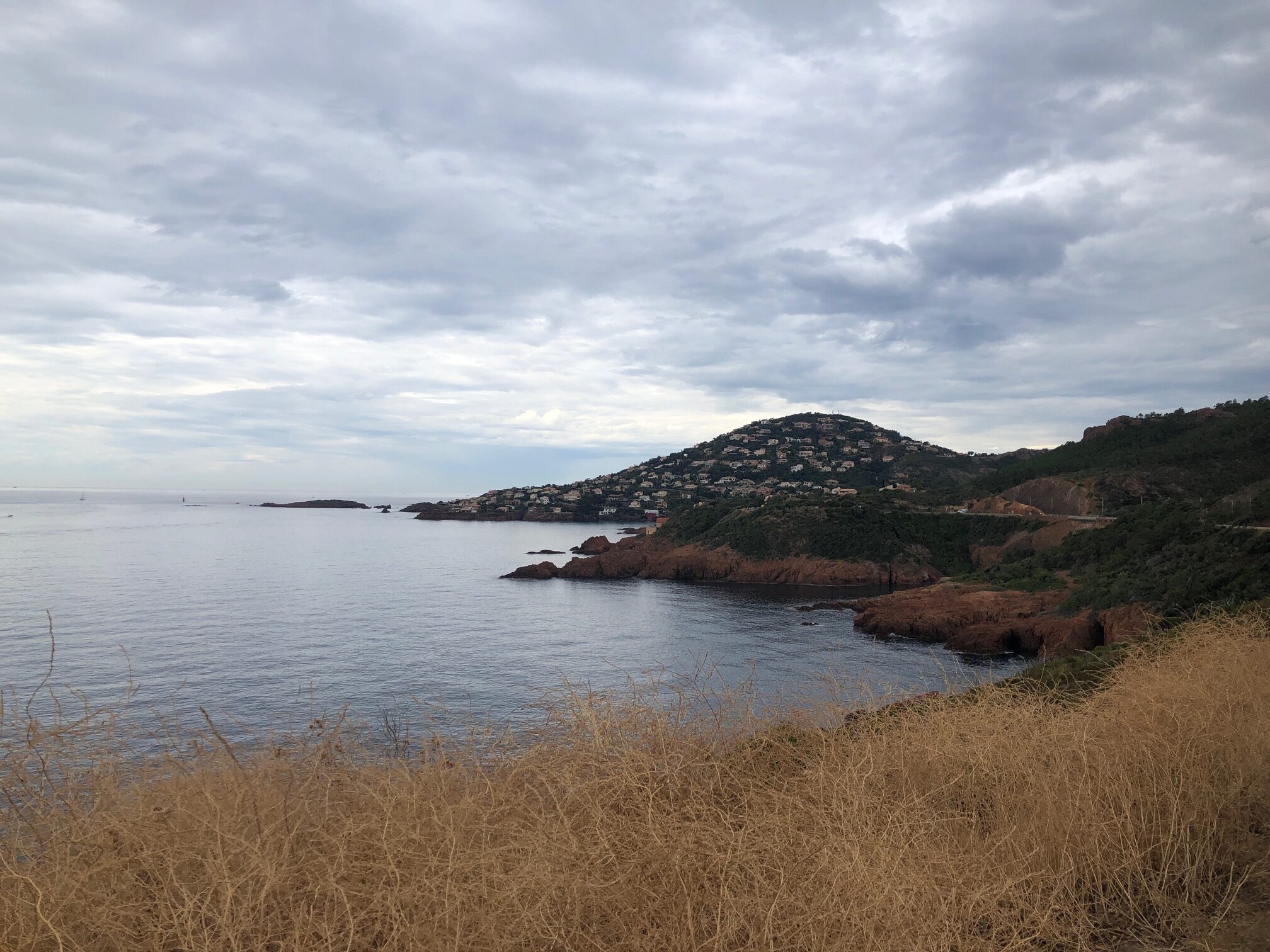
The French Riviera, known in French as the Côte d’Azur, is the Mediterranean coastline of the southeast corner of France.
There is no official boundary, but it is considered to be the coastal area of the Alpes-Maritimes department, extending from the rock formation Massif de l’Esterel to Menton, at the France-Italy border, although some other sources place the western boundary further west around Saint-Tropez or even Toulon.
Riviera is an Italian word that originates from the ancient Ligurian territory of Italy. Côte d’Azur is originally a nickname given by France to the County of Nice after its annexation in 1860, because the climate was similar to that of the north of Italy, even in winter, with “a sky as blue as its sea”.
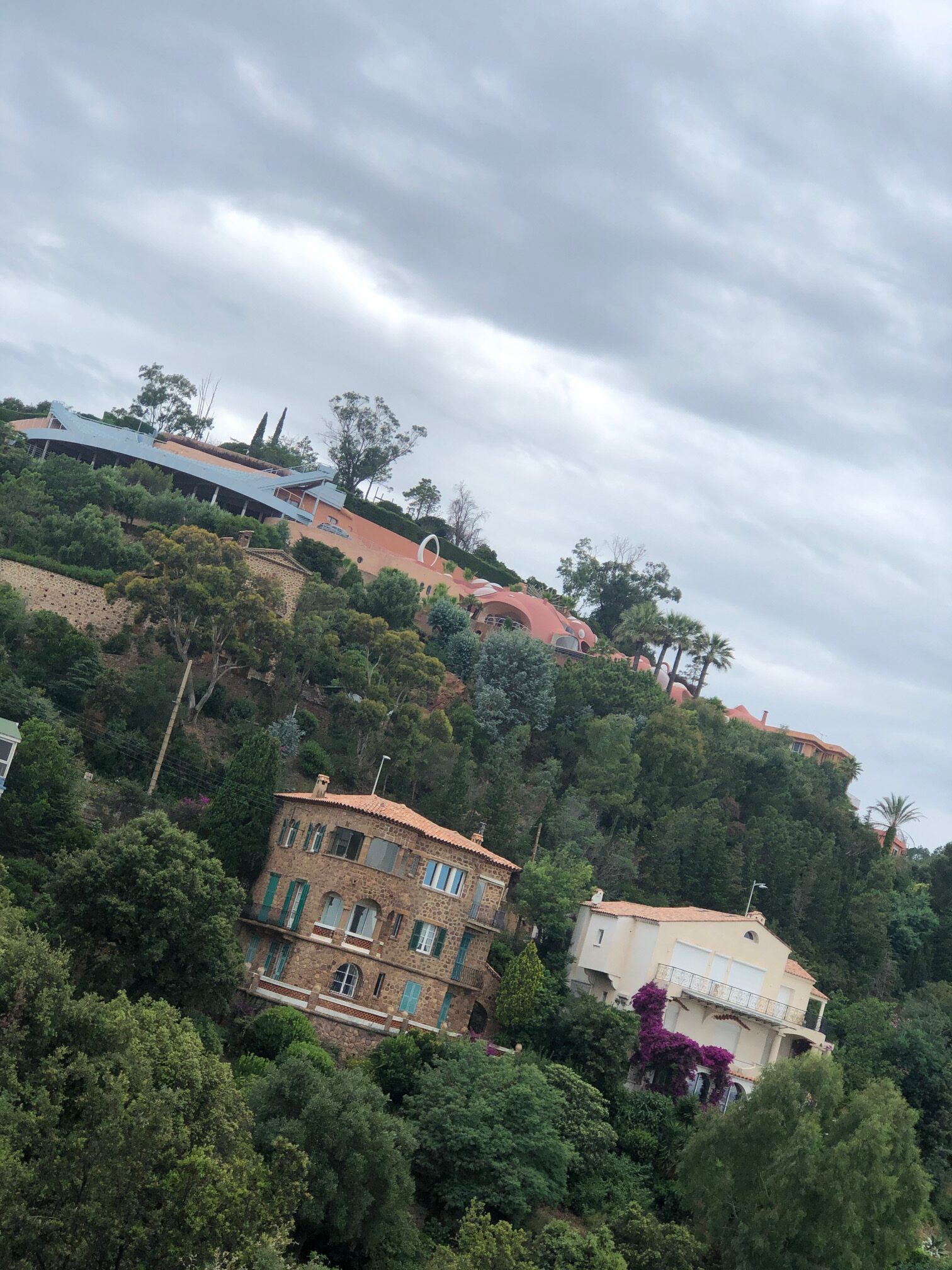
This coastline was one of the first modern resort areas. It began as a winter health resort for the British upper class at the end of the 18th century. With the arrival of the railway in the mid-19th century, it became the playground and vacation spot of British, Russian, and other aristocrats.
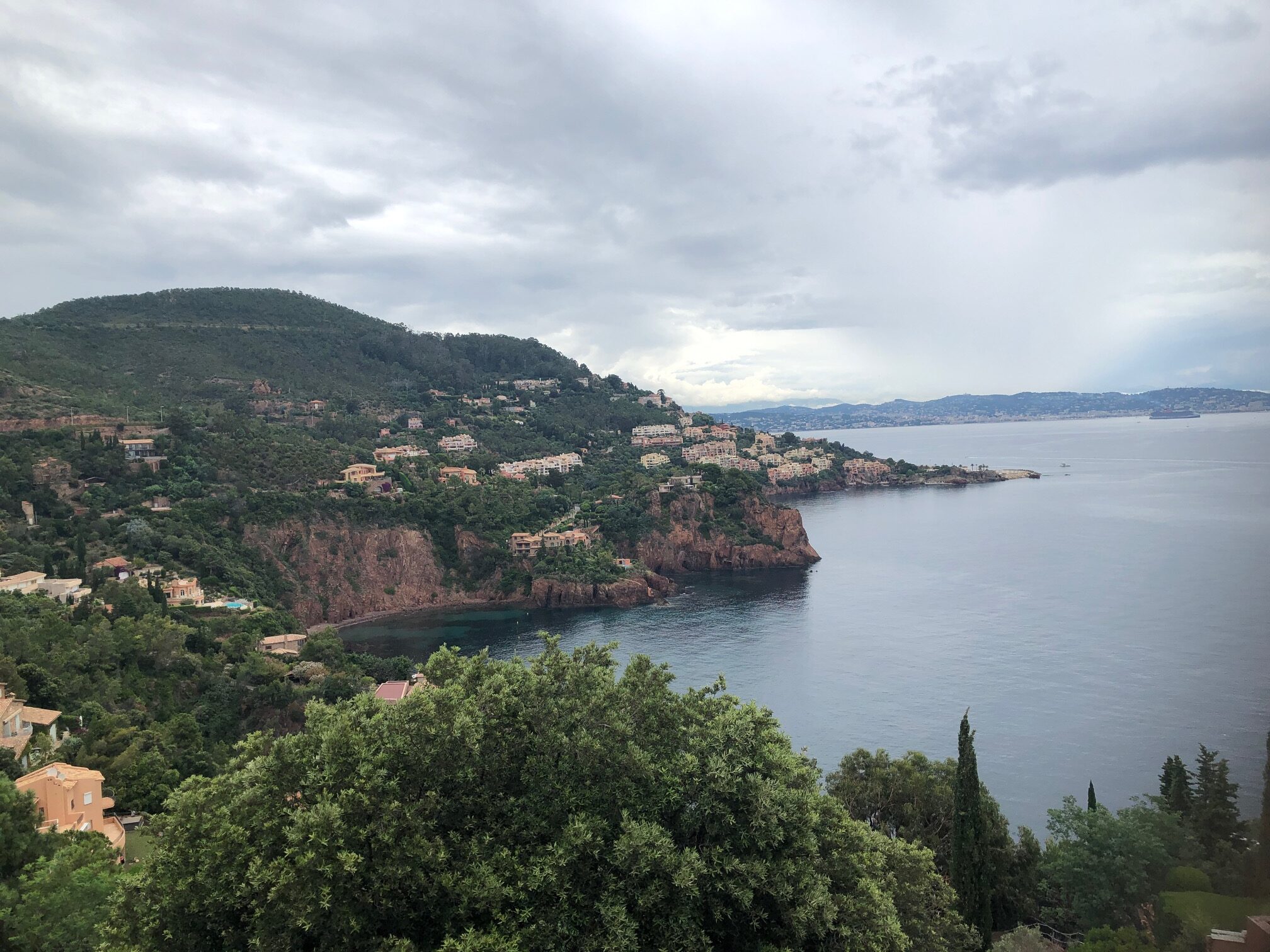
The numerous villas you can see along this road are among the most expensive in the world.
The weather was not at its best and the sun was the great absentee of the day.
It’s time to leave the cypress trees behind us.
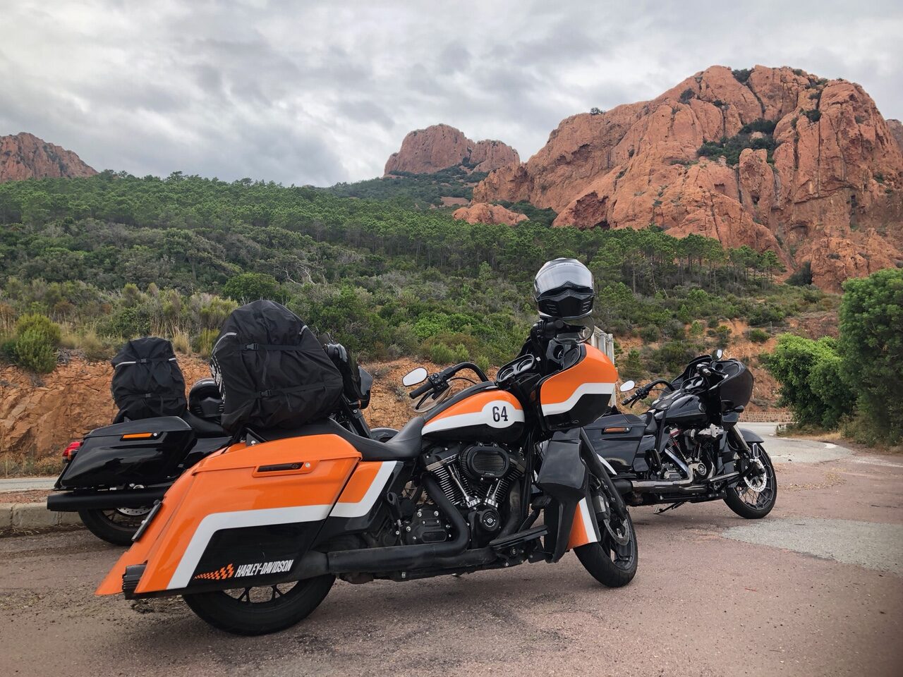
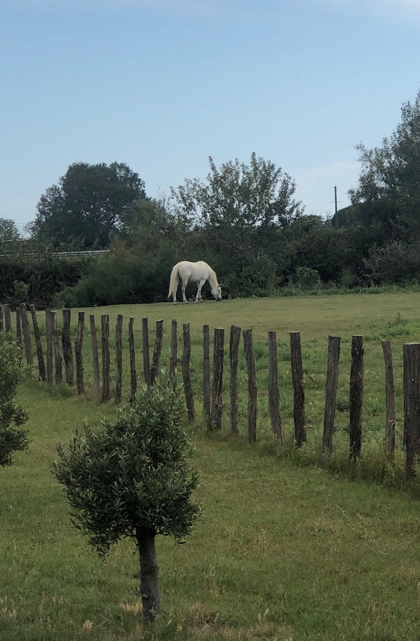
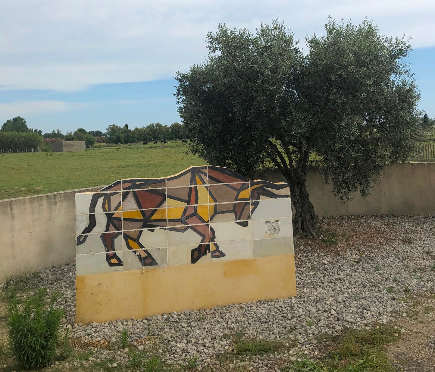
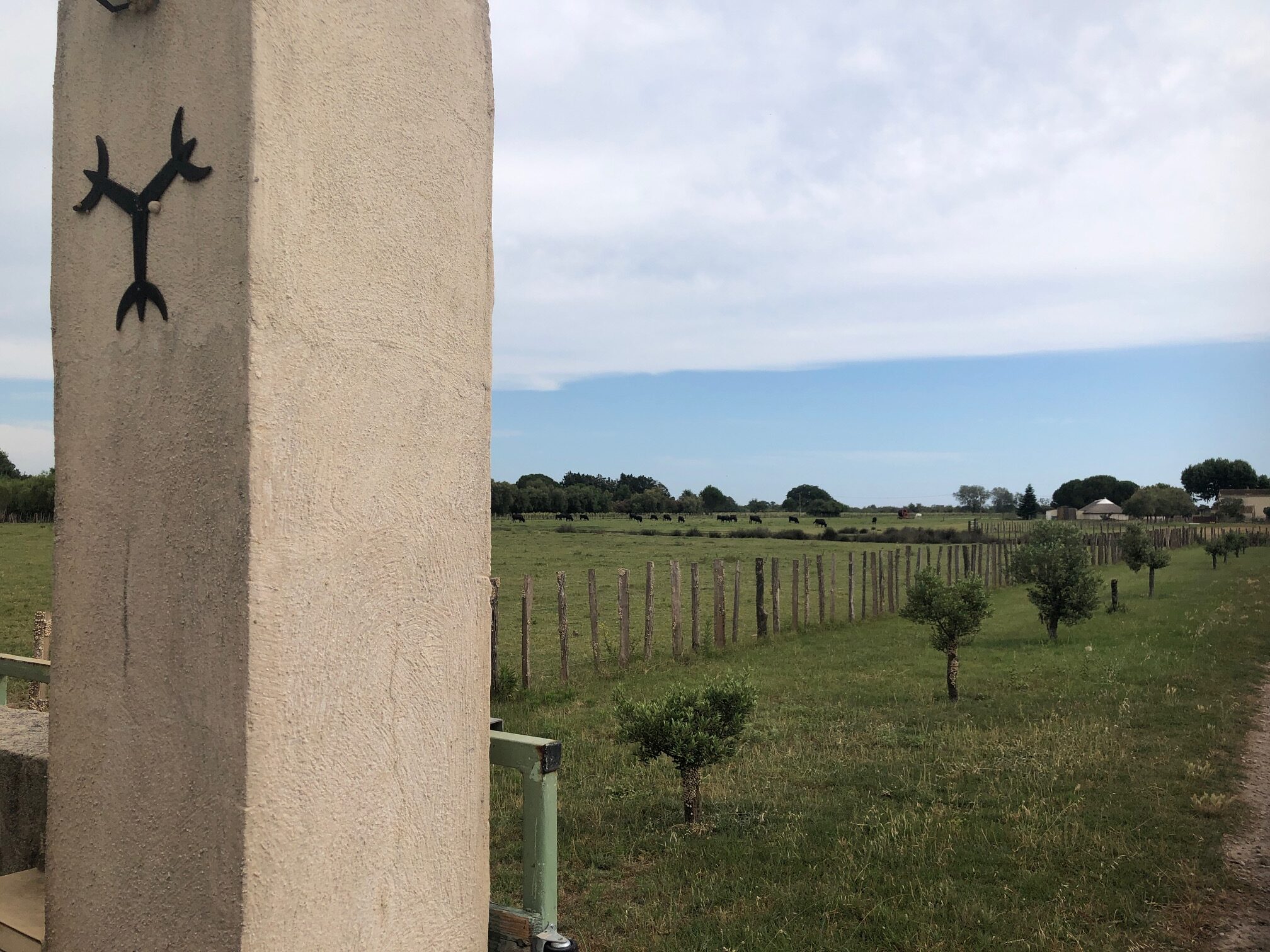
Day four, u-turn, direction Camargue region, in the opposite direction of the French Riviera.
With an area of over 930 km2 (360 sq mi), the Camargue is western Europe’s largest river delta. It is a vast plain comprising large brine lagoons or étangs, cut off from the sea by sandbars and encircled by reed-covered marshes. These are in turn surrounded by a large cultivated area.
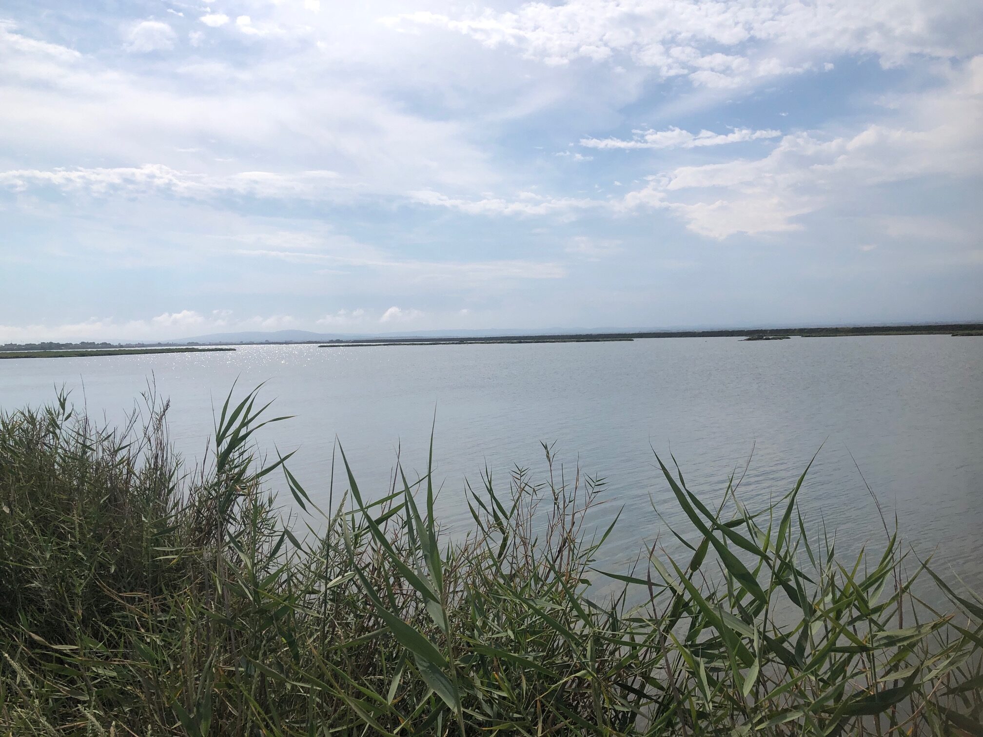
Approximately a third of the Camargue is either lakes or marshland. The central area around the shoreline of the étang de Vacarès has been protected as a regional park since 1927, in recognition of its great importance as a haven for wild birds.
The Camarguais or Cheval de Camargue, is a traditional French breed of working horse indigenous to the Camargue. Its origins are unknown.
For centuries, possibly thousands of years, these small horses have lived wild in the harsh environment of the Camargue marshes and wetlands of the Rhône delta. There they developed the stamina, hardiness, and agility for which they are known today.
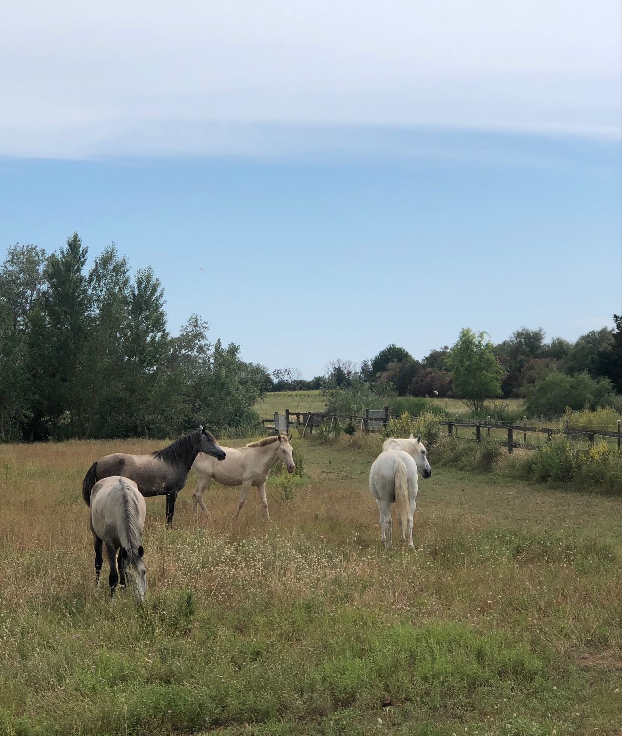
Traditionally, they live in semi-feral conditions in the marshy land of the region. The Camargue horse is the traditional mount of the Gardians.
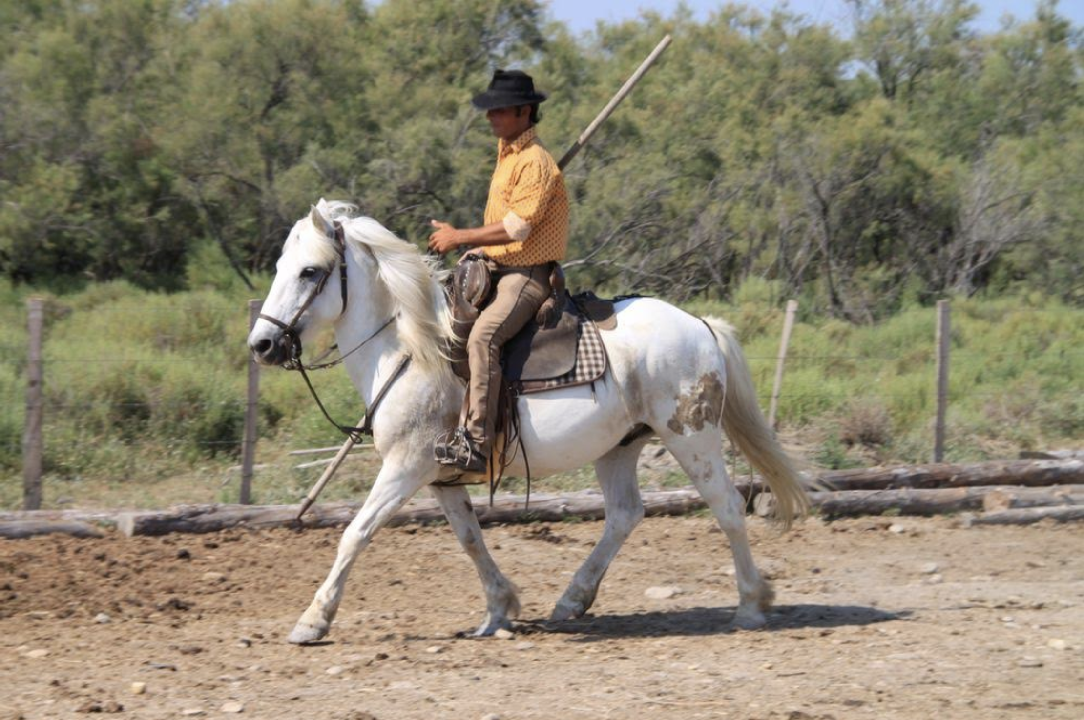
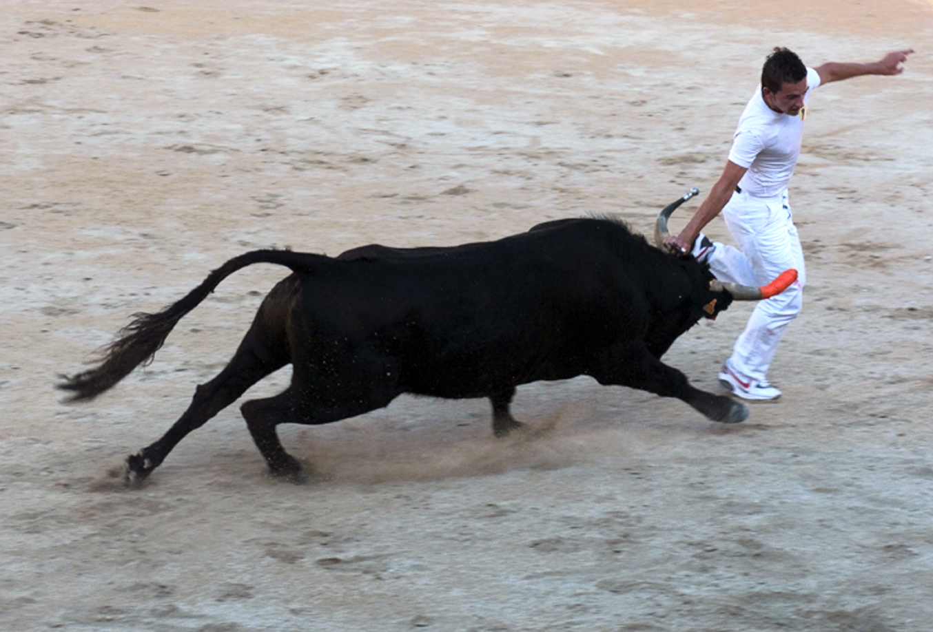
The Gardians are the Camargue riders who herd the black Camargue bulls.
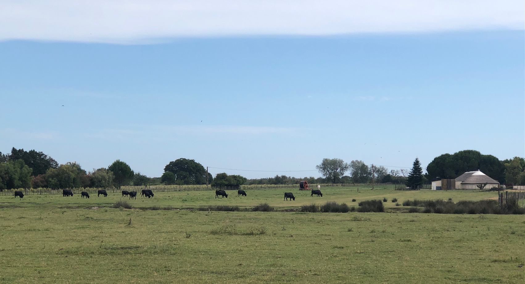
These bulls are used for courses camarguaises in southern France.
The Camargue is home to more than 400 species of birds. Its brine ponds provide one of the few European habitats for the greater flamingo. The marshes are also a prime habitat for many species of insects, notably (and notoriously) some of the most ferocious mosquitoes to be found anywhere in France.
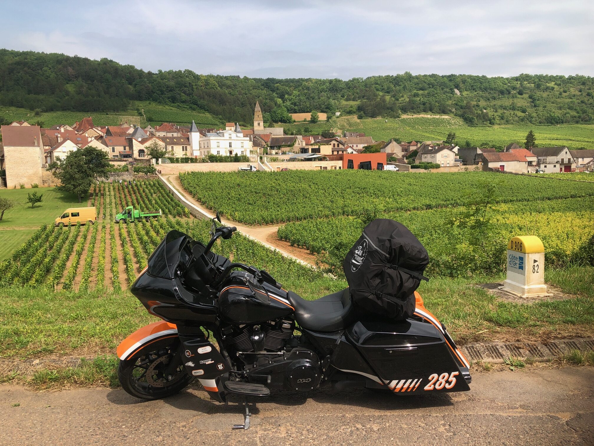
It was now time to head back north on this fifth day. Only by secondary roads, getting lost sometimes.
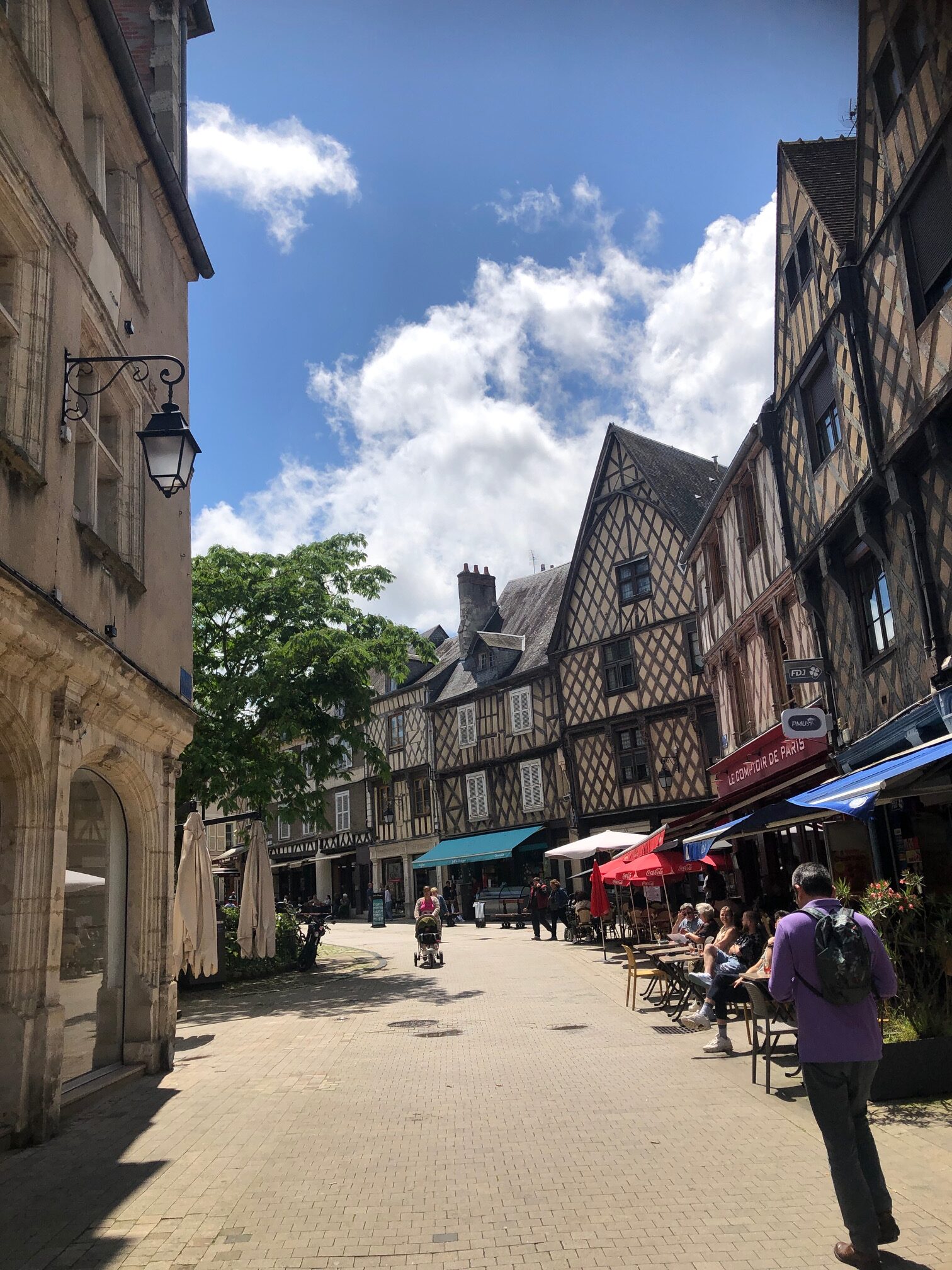
A good reason to cross the beautiful Burgundy (remember this post: RIDING THE ROAD OF GREAT WINES – Iron Trader News)…
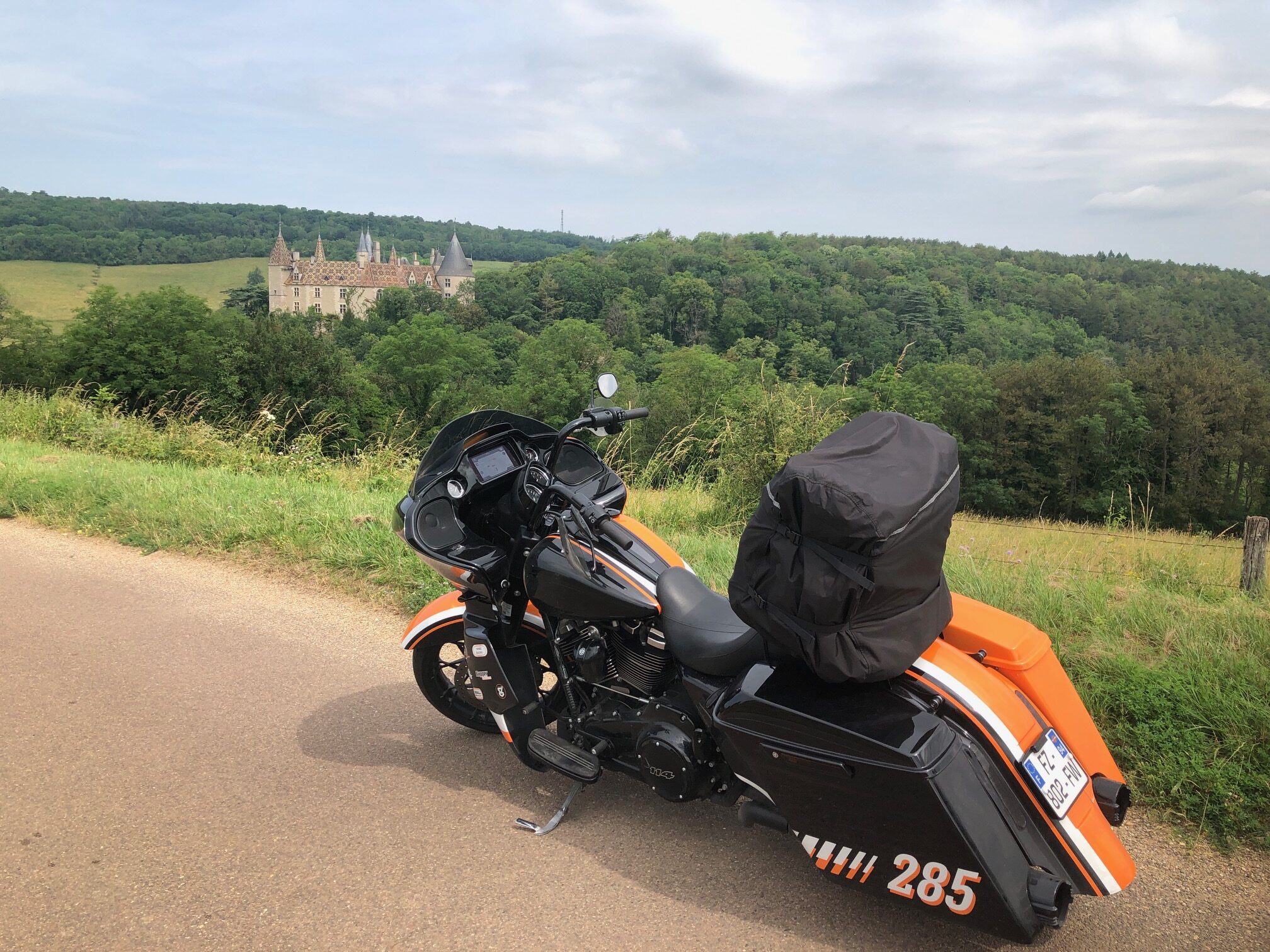
And its charming villages.
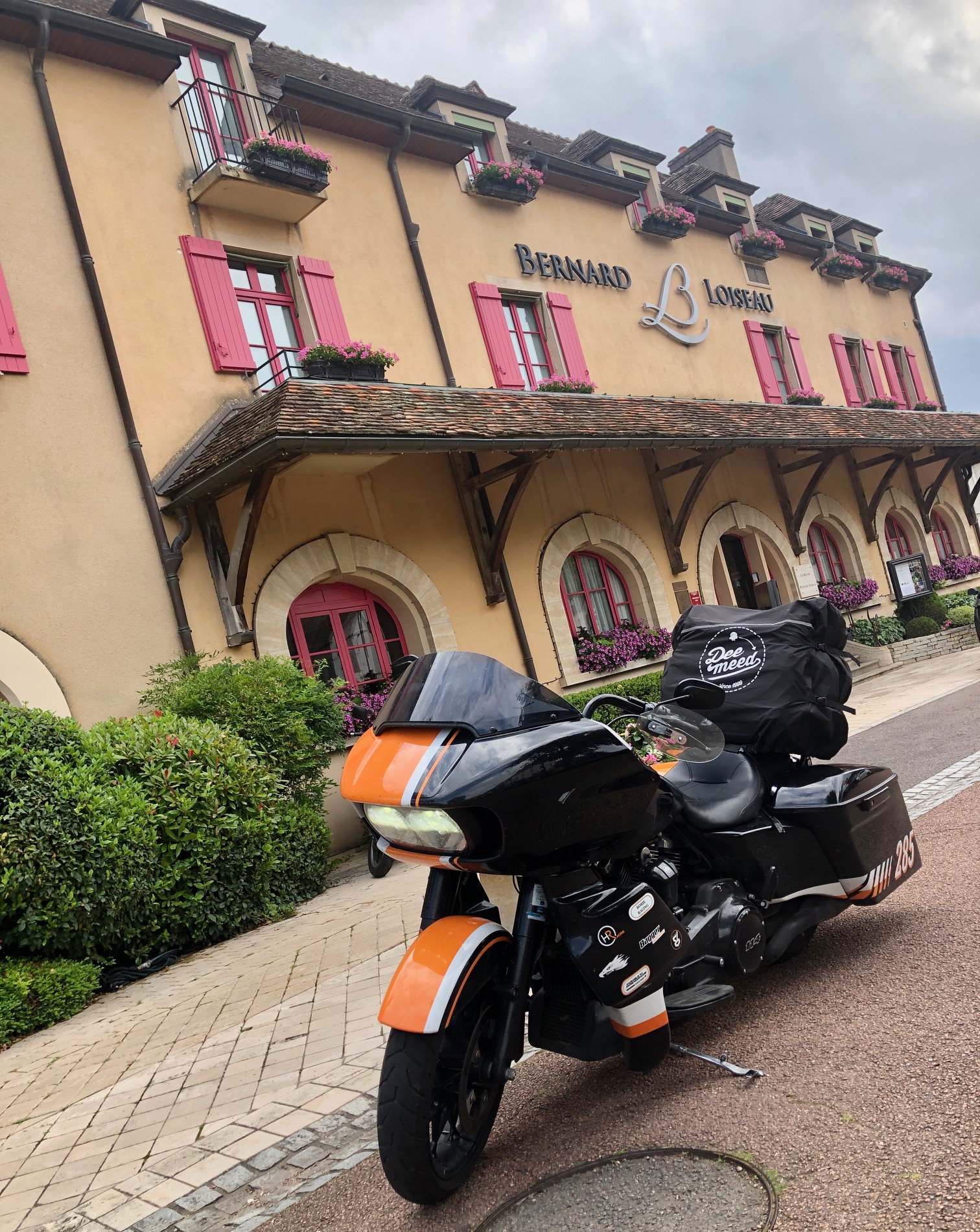
Of course, it gave me the opportunity to make a stop in the city of Saulieu.
To visit one of the most famous great French restaurants: LOISEAU.
It was such a great trip, I’m so sorry not to be able to show you all the nice places I’ve seen. Hope you will join me next year for another nice road trip on French roads.
See ya soon on the road, who knows?!?
Hervé, your French biker friend.


More Stories
RIDE TO LEONARDO DA VINCI’S CASTLE
RIDE TO BOOZ
RIDE TO THE VILLAGE CALLED HEDGEHOG